Medium airport · United Kingdom
Dundee AirportEGPN
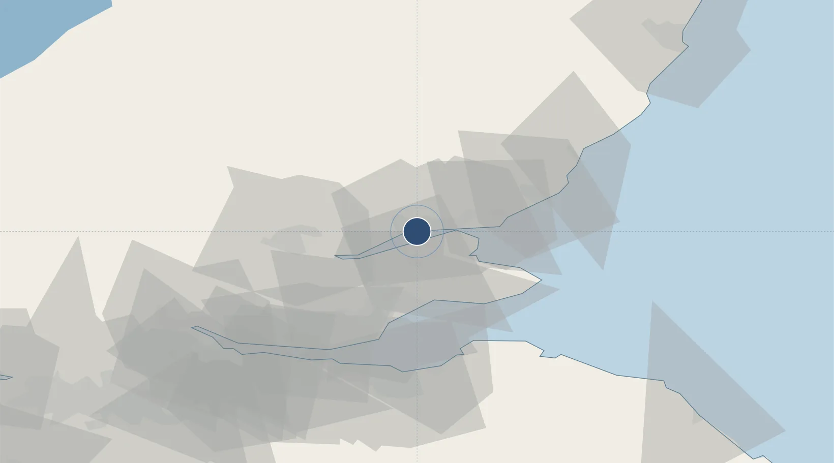
56.4525°, -3.0258°
4,593 ft
Longest runway
1
Runways
17 ft
Elevation
Runway & Layout

Radio Frequencies
ATIS
119.33 MHz
TWR
122.905 MHz
APP
122.905 MHz
Navaids
DND NDB Dundee 394 kHz
Runways · 1
| Runway | Dimensions | Surface | True heading | Lit |
|---|---|---|---|---|
| 09/27 | 4,593 × 98ft | Asphalt | 091° | ✓ |
Airport Specifications
IATA code
DND
ICAO code
EGPN
Airport class
Medium airport
Scheduled service
Yes
Runway surface
Asphalt
Served city
Dundee
Location
Nearby Logistics Neighbours
Airports
- 1Leuchars Station Airfield13 km
- 2Edinburgh Airport60 km
- 3Aberdeen International Airport97 km
- 4Glasgow Airport108 km
- 5Inverness Airport136 km
Cities
- 1Dundee6 km
- 2Tayport9 km
- 3Inchture9 km
- 4Lasswade10 km
- 5Charleston15 km
Ports
- 1Dundee5 km
- 2Perth27 km
- 3Methil30 km
- 4Montrose44 km
- 5Burntisland47 km
Trade Zones
DatabookThe Record of Consolidated Knowledge
United Kingdom beyond logistics?