Channel & Berth Profile
Pilotage, Tugs & Services
Pilotage compulsoryYES
Pilotage availableYES
Pilotage advisableYES
Tug assistanceYES
Salvage tugsNO
Potable waterYES
Diesel bunkersYES
MedicalYES
Garbage disposalYES
Facilities & Capabilities
Container—
Ro-Ro—
Liquid bulk—
Dry bulk—
Oil terminal—
Break bulk—
Dry dock—
RepairsNO
BunkeringYES
Rail linkYES
Dangerous cargo—
ISPS security—
Harbour Specifications
Harbour size
Very Small
Harbour type
River (Natural)
Shelter
Good
Water body
North Sea; North Atlantic Ocean
Tidal range
4 m
Overhead limit
Yes
Pilotage
Yes
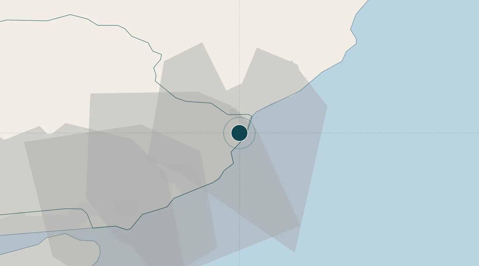
Location
Nearby Logistics Neighbours
Cities
- 1Johnshaven14 km
- 2Arbroath17 km
- 3Gourdon19 km
- 4Carnoustie27 km
- 5Stonehaven33 km
Airports
- 1Leuchars Station Airfield44 km
- 2Dundee Airport44 km
- 3Aberdeen International Airport58 km
- 4Edinburgh Airport100 km
- 5RAF Lossiemouth124 km
Trade Zones
DatabookThe Record of Consolidated Knowledge
United Kingdom beyond logistics?