UN/LOCODE hub · United Kingdom
GBSVN
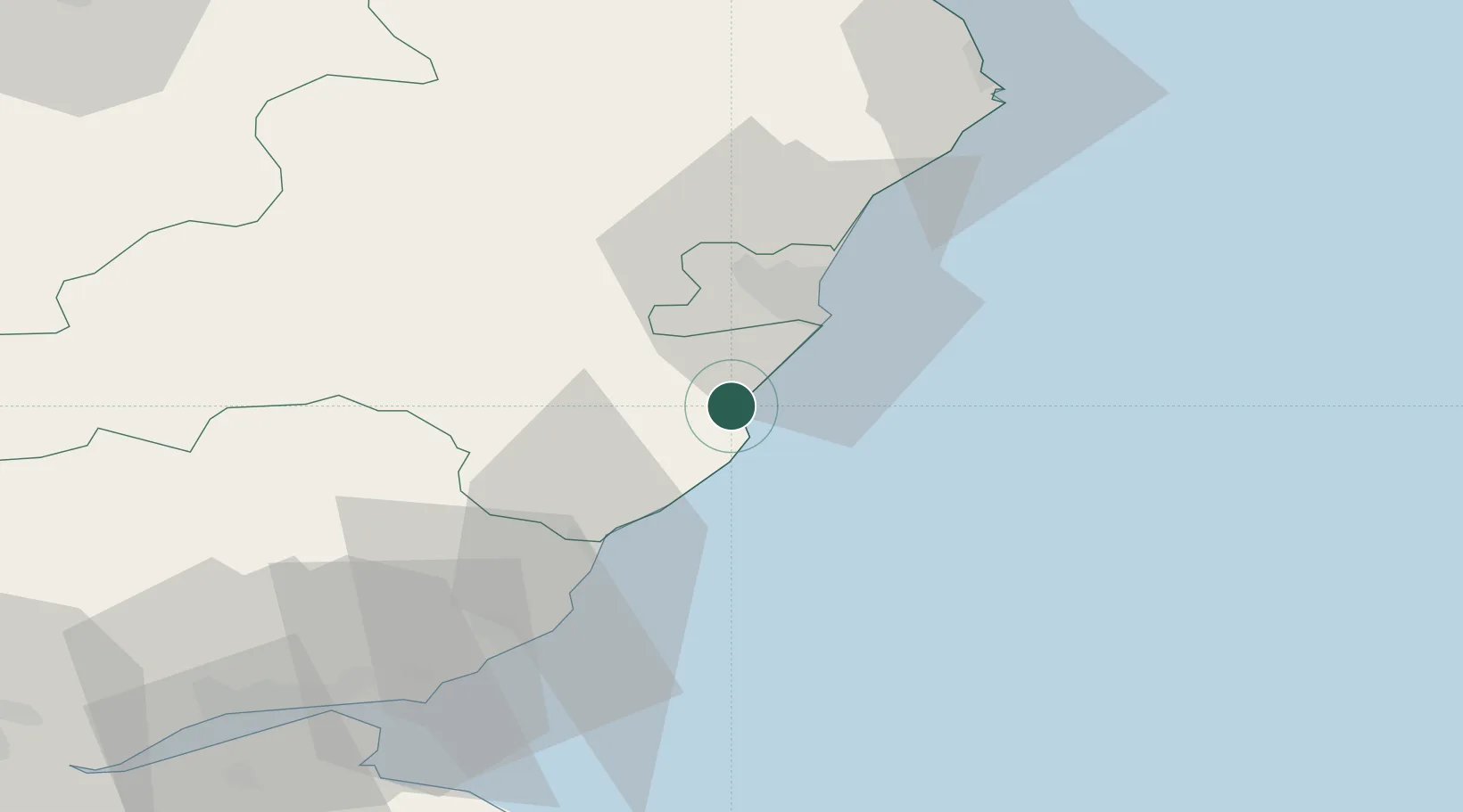
Stonehaven
56.9667°, -2.2167°
11,370
Population
3
Transport functions
Transport Functions
Port
Rail
Road
Hub Profile
Place type
Populated place
Region
Scotland
Population
11,370
Time zone
Europe/London
Elevation
11 m
Location
Nearby Logistics Neighbours
Cities
- 1Peterculter13 km
- 2Gourdon15 km
- 3Cove (Aberdeen)17 km
- 4Johnshaven20 km
- 5Aberdeen22 km
Airports
- 1Aberdeen International Airport26 km
- 2Dundee Airport76 km
- 3Leuchars Station Airfield77 km
- 4RAF Lossiemouth106 km
- 5Inverness Airport127 km
Trade Zones
DatabookThe Record of Consolidated Knowledge
United Kingdom beyond logistics?