Transport Functions
Multimodal
Hub Profile
Place type
Populated place
Region
Scotland
Time zone
Europe/London
Elevation
67 m
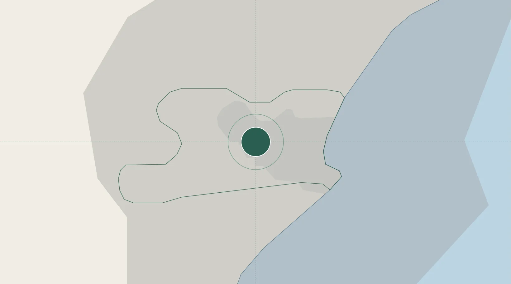
Location
Nearby Logistics Neighbours
Cities
- 1Stoneywood2 km
- 2Aberdeen3 km
- 3Cove (Aberdeen)10 km
- 4Peterculter11 km
- 5Stonehaven22 km
Ports
- 1Aberdeen5 km
- 2Peterhead44 km
- 3Montrose55 km
- 4Fraserburgh Harbor58 km
- 5Macduff59 km
Airports
- 1Aberdeen International Airport4 km
- 2RAF Lossiemouth92 km
- 3Dundee Airport95 km
- 4Leuchars Station Airfield98 km
- 5Inverness Airport120 km
Trade Zones
DatabookThe Record of Consolidated Knowledge
United Kingdom beyond logistics?