Medium airport · United Kingdom

Leuchars Station AirfieldEGQL
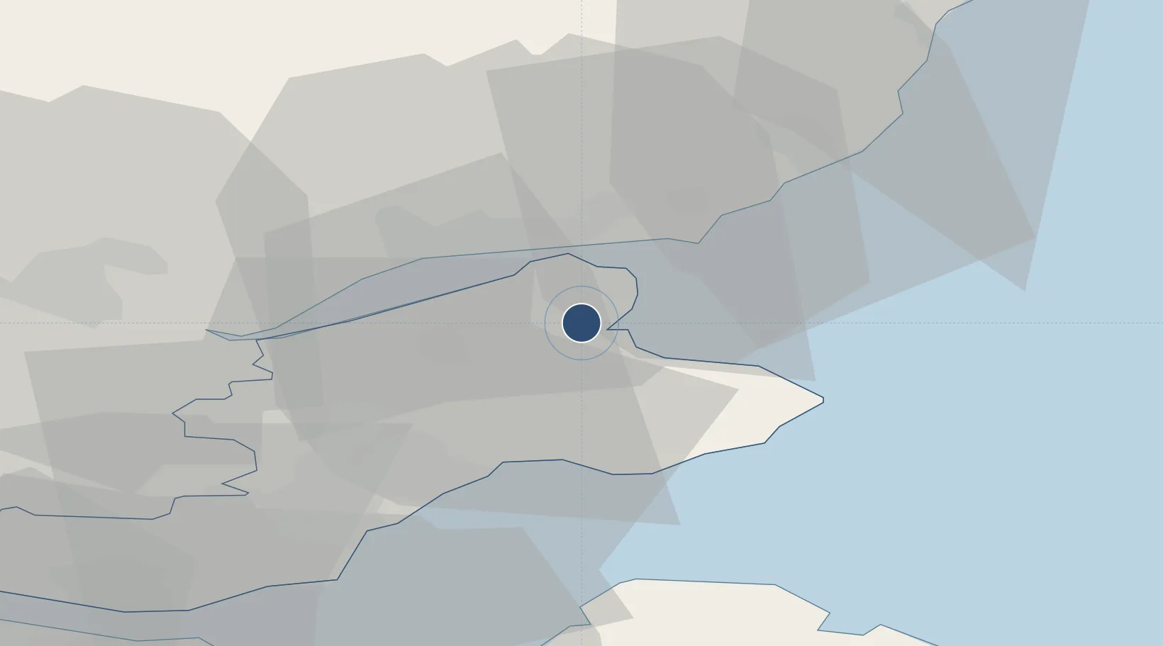
56.3740°, -2.8689°
8,491 ft
Longest runway
1
Runways
38 ft
Elevation

Runway & Layout

Leuchars Station Airfield runway & taxiway layout
Runway & taxiway layout — OpenStreetMap (ODbL) / OurAirports

Radio Frequencies

ATIS
36.925 MHz
TWR
122.1 MHz
GND
122.1 MHz
APP
123.3 MHz
DEP
126.5 MHz
OPS
37.007 MHz
OurAirports

Navaids

LUK TACAN Leuchars 110.50 MHz
OurAirports

Runways · 1

RunwayDimensions SurfaceTrue headingLit
08/26 8,491 × 150ft Asphalt 082°
OurAirports

Airport Specifications

IATA code
ADX
OurAirports
ICAO code
EGQL
OurAirports
Airport class
Medium airport
OurAirports
Scheduled service
No
OurAirports
Runway surface
Asphalt
OurAirports
Served city
Leuchars, Fife
OurAirports

Location

Location of EGQL
Natural Earth 10m (public domain) · Fife · EGQL · 56.37, -2.87GoogleOSMYandex

Nearby Logistics Neighbours

Airports
  1. 1Dundee Airport13 km
  2. 2Edinburgh Airport57 km
  3. 3Aberdeen International Airport101 km
  4. 4Glasgow Airport112 km
  5. 5Glasgow Prestwick Airport144 km
Nearest neighbours — logibook spatial index (haversine) over the source coordinates
Cities
  1. 1St Andrews7 km
  2. 2Tayport9 km
  3. 3Dundee15 km
  4. 4Carnoustie17 km
  5. 5Largo18 km
Nearest neighbours — logibook spatial index (haversine) over the source coordinates
Ports
  1. 1Dundee12 km
  2. 2Methil23 km
  3. 3Perth36 km
  4. 4Burntisland43 km
  5. 5Montrose44 km
Nearest neighbours — logibook spatial index (haversine) over the source coordinates
Trade Zones
  1. 1Prestwick Airport Free Zone145 km
  2. 2Carlisle Kingmoor Park Enterprise Zone160 km
  3. 3North Eastern Enterprise Zone175 km
  4. 4Tees Valley Enterprise Zone224 km
  5. 5Isle of Man Free Zone and Business Park277 km
Nearest neighbours — logibook spatial index (haversine) over the source coordinates
DatabookThe Record of Consolidated Knowledge
United Kingdom beyond logistics?
Browse databook

All Sources

AirportsOurAirports
Public domain
Portsthe NGA World Port Index
Public domain (US gov)
LocationsUN/LOCODE
UN/LOCODE — free
Trade Zonesthe World Bank SEZ database
CC BY 4.0
Trade ZonesOpen Zone Map
CC BY
InfrastructureOpenStreetMap
ODbL 1.0
← United Kingdom airports