Channel & Berth Profile
Pilotage, Tugs & Services
Pilotage compulsoryNO
Pilotage availableYES
Pilotage advisableYES
Local assistanceYES
Potable waterYES
Diesel bunkersYES
MedicalYES
Garbage disposalYES
Facilities & Capabilities
Container—
Ro-Ro—
Liquid bulk—
Dry bulk—
Oil terminal—
Break bulk—
Dry dock—
RepairsNO
BunkeringYES
Rail link—
Dangerous cargo—
ISPS security—
Harbour Specifications
Harbour size
Very Small
Harbour type
Coastal (Breakwater)
Shelter
Poor
Water body
North Sea; North Atlantic Ocean
Tidal range
5 m
Overhead limit
Yes
Pilotage
No
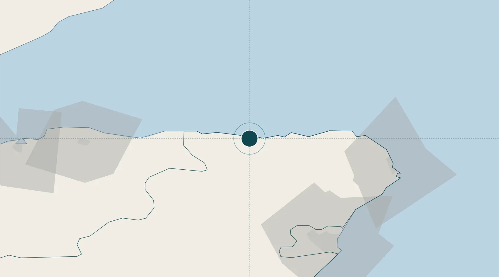
Location
Nearby Logistics Neighbours
Ports
- 1Buckie Harbor28 km
- 2Fraserburgh Harbor30 km
- 3Peterhead47 km
- 4Lossiemouth47 km
- 5Burghead60 km
Cities
- 1Banff2 km
- 2Whitehills4 km
- 3Gardenstown10 km
- 4Portsoy11 km
- 5Pennan14 km
Airports
- 1RAF Lossiemouth50 km
- 2Aberdeen International Airport55 km
- 3Inverness Airport93 km
- 4Wick John O'Groats Airport95 km
- 5Dundee Airport139 km
Trade Zones
DatabookThe Record of Consolidated Knowledge
United Kingdom beyond logistics?