Channel & Berth Profile
Pilotage, Tugs & Services
Pilotage compulsoryYES
Pilotage availableYES
Tug assistanceYES
Salvage tugsNO
Potable waterYES
Diesel bunkersYES
MedicalYES
Garbage disposalYES
Facilities & Capabilities
Container—
Ro-Ro—
Liquid bulk—
Dry bulk—
Oil terminal—
Break bulk—
Dry dockNO
RepairsNO
BunkeringYES
Rail linkYES
Dangerous cargo—
ISPS security—
Harbour Specifications
Harbour size
Medium
Harbour type
Coastal (Breakwater)
Shelter
Good
Water body
North Sea; North Atlantic Ocean
Tidal range
3 m
Pilotage
Yes
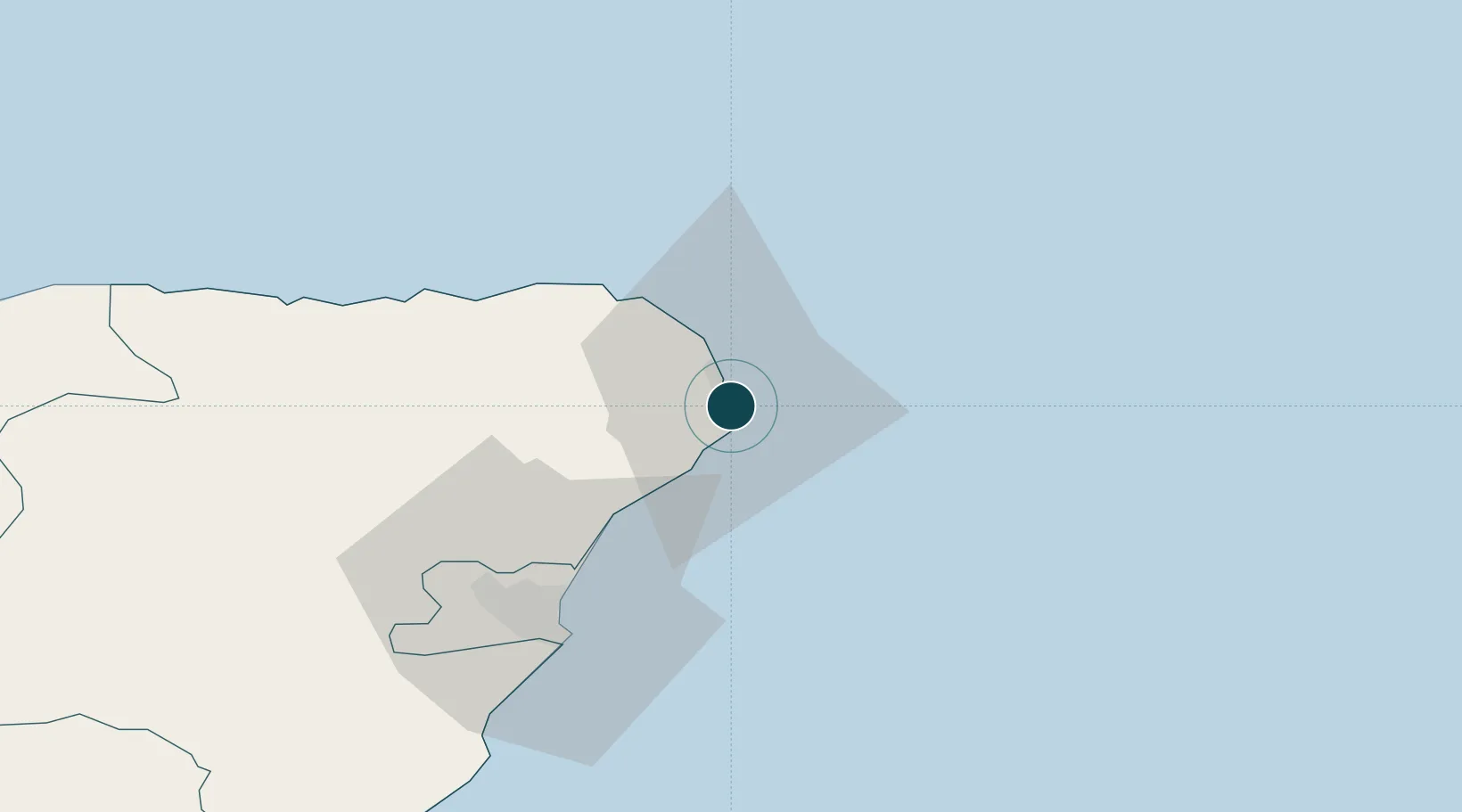
Location
Nearby Logistics Neighbours
Ports
- 1Fraserburgh Harbor24 km
- 2Aberdeen43 km
- 3Macduff47 km
- 4Buckie Harbor73 km
- 5Lossiemouth93 km
Cities
- 1Boddam6 km
- 2Port Erroll12 km
- 3Whinnyfold14 km
- 4Stuartfield16 km
- 5Collieston19 km
Airports
- 1Aberdeen International Airport41 km
- 2RAF Lossiemouth96 km
- 3Wick John O'Groats Airport132 km
- 4Dundee Airport139 km
- 5Leuchars Station Airfield142 km
Trade Zones
DatabookThe Record of Consolidated Knowledge
United Kingdom beyond logistics?