Channel & Berth Profile
Pilotage, Tugs & Services
Pilotage compulsoryNO
Pilotage availableYES
Pilotage advisableYES
Local assistanceYES
Shore powerYES
Potable waterYES
Diesel bunkersYES
MedicalYES
Garbage disposalYES
Facilities & Capabilities
Container—
Ro-Ro—
Liquid bulk—
Dry bulk—
Oil terminal—
Break bulk—
Dry dock—
RepairsNO
BunkeringYES
Rail link—
Dangerous cargo—
ISPS security—
Harbour Specifications
Harbour size
Very Small
Harbour type
Coastal (Breakwater)
Shelter
Good
Water body
North Sea; North Atlantic Ocean
Tidal range
2 m
Pilotage
No
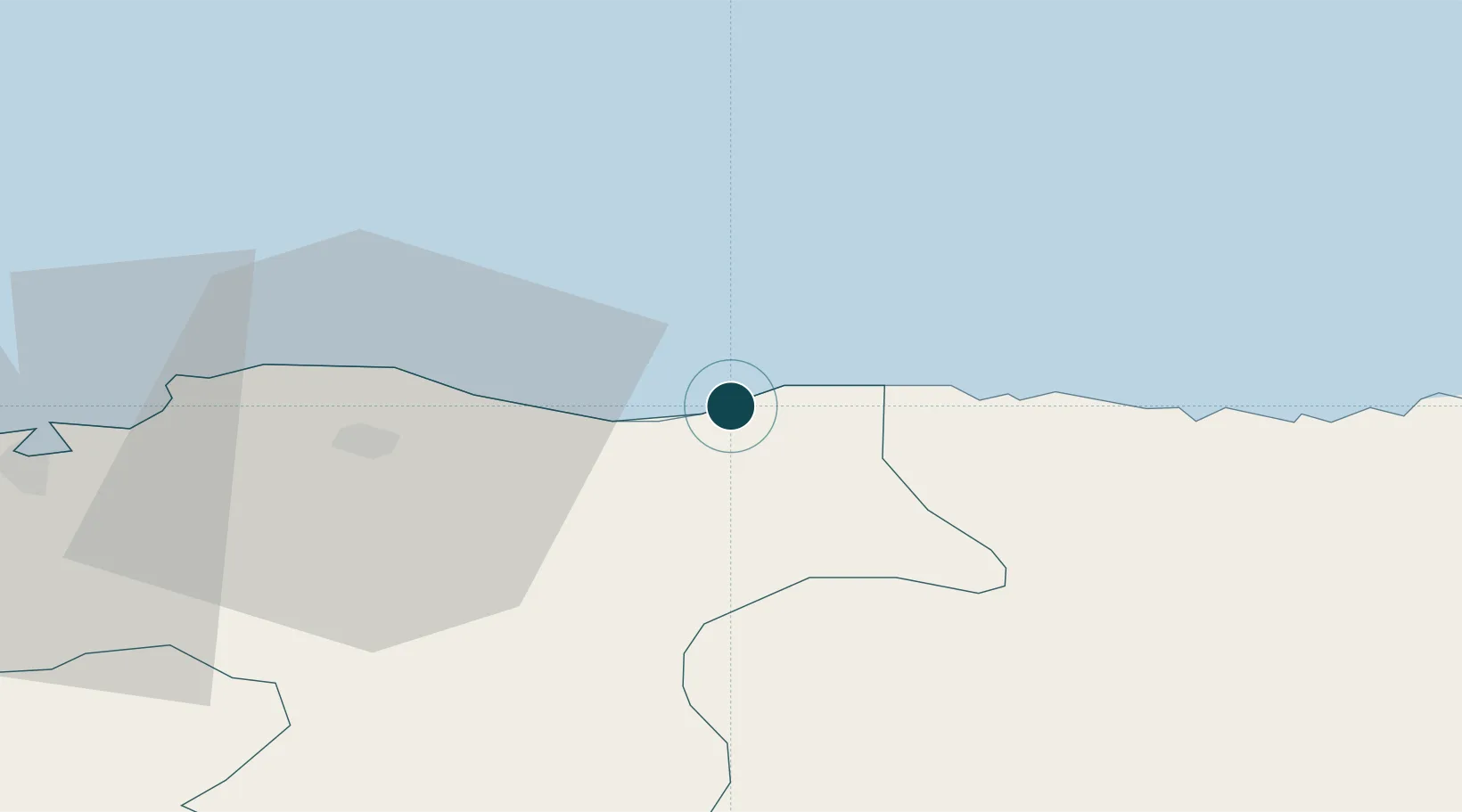
Location
Nearby Logistics Neighbours
Ports
- 1Lossiemouth19 km
- 2Macduff28 km
- 3Burghead32 km
- 4Portmahomack Harbor54 km
- 5Fraserburgh Harbor58 km
Cities
- 1Portgordon4 km
- 2Findochty4 km
- 3Portknockie6 km
- 4Portsoy17 km
- 5Lossiemouth19 km
Airports
- 1RAF Lossiemouth22 km
- 2Inverness Airport66 km
- 3Aberdeen International Airport71 km
- 4Wick John O'Groats Airport87 km
- 5Dundee Airport137 km
Trade Zones
DatabookThe Record of Consolidated Knowledge
United Kingdom beyond logistics?