UN/LOCODE hub · Egypt
EGHHD

Samannud

30.9500°, 31.2333°
87,921
Population
2
Transport functions

Transport Functions

Rail
Multimodal
UN/LOCODE

Hub Profile

Place type
Populated place
GeoNames
Region
Gharbia
GeoNames
Population
87,921
GeoNames
Time zone
Africa/Cairo
GeoNames
Elevation
12 m
GeoNames

Location

Location of EGHHD
Natural Earth 10m (public domain) · Gharbia · EGHHD · 30.95, 31.23GoogleOSMYandex

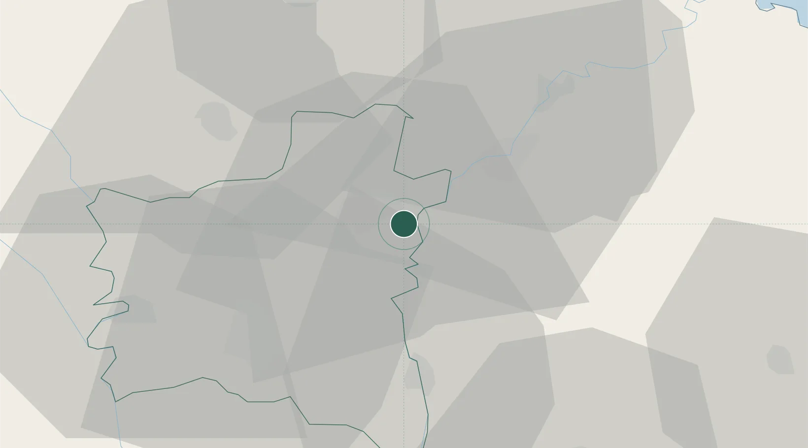
Nearby Logistics Neighbours

Cities
  1. 1Al Mansurah16 km
  2. 2Tanta31 km
  3. 3Quesna46 km
  4. 4Banha56 km
  5. 5El Beheirah75 km
Nearest neighbours — logibook spatial index (haversine) over the source coordinates
Ports
  1. 1Damietta77 km
  2. 2Bur Sa'id108 km
  3. 3El Ismailiya108 km
  4. 4El Maadiya109 km
  5. 5Abu Qir118 km
Nearest neighbours — logibook spatial index (haversine) over the source coordinates
Airports
  1. 1Al Mansurah Airbase19 km
  2. 2Birma Air Base31 km
  3. 3Quesna Airport42 km
  4. 4Bilbeis Air Base71 km
  5. 5Bilbeis 2 Airfield73 km
Nearest neighbours — logibook spatial index (haversine) over the source coordinates
Trade Zones
  1. 1Mit Ghamr Investment Zone28 km
  2. 2Shebin El-koom Public Free Zone48 km
  3. 3Banha Investment Zone55 km
  4. 4Damietta Public Free Zone77 km
  5. 5Arab Al Olayqat Investment Zone82 km
Nearest neighbours — logibook spatial index (haversine) over the source coordinates
DatabookThe Record of Consolidated Knowledge
Egypt beyond logistics?
Browse databook

All Sources

LocationsUN/LOCODE
UN/LOCODE — free
LocationsGeoNames
CC BY 4.0
Portsthe NGA World Port Index
Public domain (US gov)
AirportsOurAirports
Public domain
Trade Zonesthe World Bank SEZ database
CC BY 4.0
Trade ZonesOpen Zone Map
CC BY
← Egypt locations