Channel & Berth Profile
Pilotage, Tugs & Services
Pilotage compulsoryYES
Pilotage availableYES
Pilotage advisableYES
Local assistanceYES
Tug assistanceYES
Salvage tugsYES
Potable waterYES
Diesel bunkersYES
MedicalYES
Facilities & Capabilities
Container—
Ro-Ro—
Liquid bulk—
Dry bulk—
Oil terminal—
Break bulk—
Dry dock—
Repairs—
BunkeringYES
Rail link—
Dangerous cargo—
ISPS security—
Harbour Specifications
Harbour size
Large
Harbour type
Open Roadstead
Shelter
Fair
Water body
Gulf of Suez; Red Sea; Indian Ocean
Tidal range
2 m
Pilotage
Yes
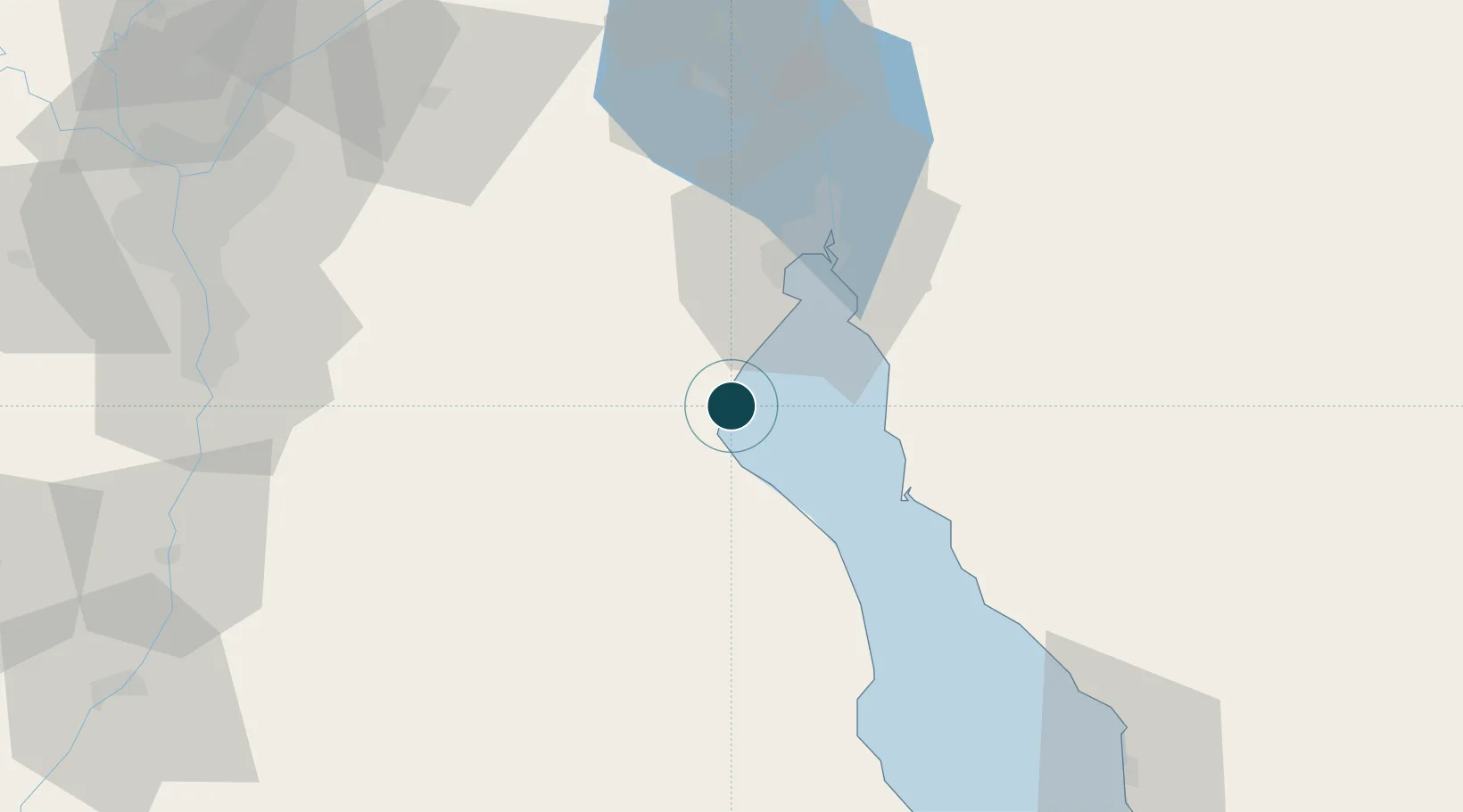
Location
Nearby Logistics Neighbours
Ports
- 1Sokhna Port Gas Tanker Terminal4 km
- 2El-Adabiya26 km
- 3Ras Sudr33 km
- 4As Suways39 km
- 5Ras Abu Zanimah100 km
Cities
- 1Sokhna Port4 km
- 2Marsa Oriental Petrochemicals4 km
- 3Galala Marina21 km
- 4Dome Marina27 km
- 5Ras Sudr30 km
Airports
- 1Capital International Airport69 km
- 2Abu Suwayr Air Base106 km
- 3Ismailia Air Base106 km
- 4Cairo International Airport107 km
- 5Bilbeis 2 Airfield108 km
Trade Zones
- 1Suez Canal Economic Zone9 km
- 2Suez Public Free Zone38 km
- 310th of Ramadan Free Zone93 km
- 4El Saf Investment Zone106 km
- 5Ishmailia Public Free Zone107 km
DatabookThe Record of Consolidated Knowledge
Egypt beyond logistics?