Seaport · Cape Verde

Porto GrandeCVGRA

16.8833°, -25.0000°
10.6
Port liner connectivity
Porto Grande is also a UN/LOCODE logistics hub →

Channel & Berth Profile

SEA LEVEL (CD)CHANNEL BEDCargo pier · 11.0 mOil terminal · 11.0 mAnchorage · 21.6 m
NGA World Port Index

Pilotage, Tugs & Services

Pilotage compulsoryYES
Pilotage advisableYES
Tug assistanceYES
Shore powerYES
Potable waterYES
Diesel bunkersYES
MedicalYES
Garbage disposalYES
NGA World Port Index

Facilities & Capabilities

Container
Ro-Ro
Liquid bulk
Dry bulk
Oil terminal
Break bulk
Dry dock
RepairsNO
BunkeringYES
Rail link
Dangerous cargo
ISPS security
NGA World Port Index

Harbour Specifications

Harbour size
Very Small
NGA World Port Index
Harbour type
Coastal (Natural)
NGA World Port Index
Shelter
Fair
NGA World Port Index
Water body
North Atlantic Ocean
NGA World Port Index
Tidal range
1 m
NGA World Port Index
Pilotage
Yes
NGA World Port Index

Liner Connectivity

10.6
PLSCI

Port Liner Shipping Connectivity Index for Porto Grande, as published by UNCTAD for the latest available quarter. Higher values indicate stronger scheduled liner-shipping integration.

Shown relative to the highest per-port PLSCI in the dataset (1,657.9).
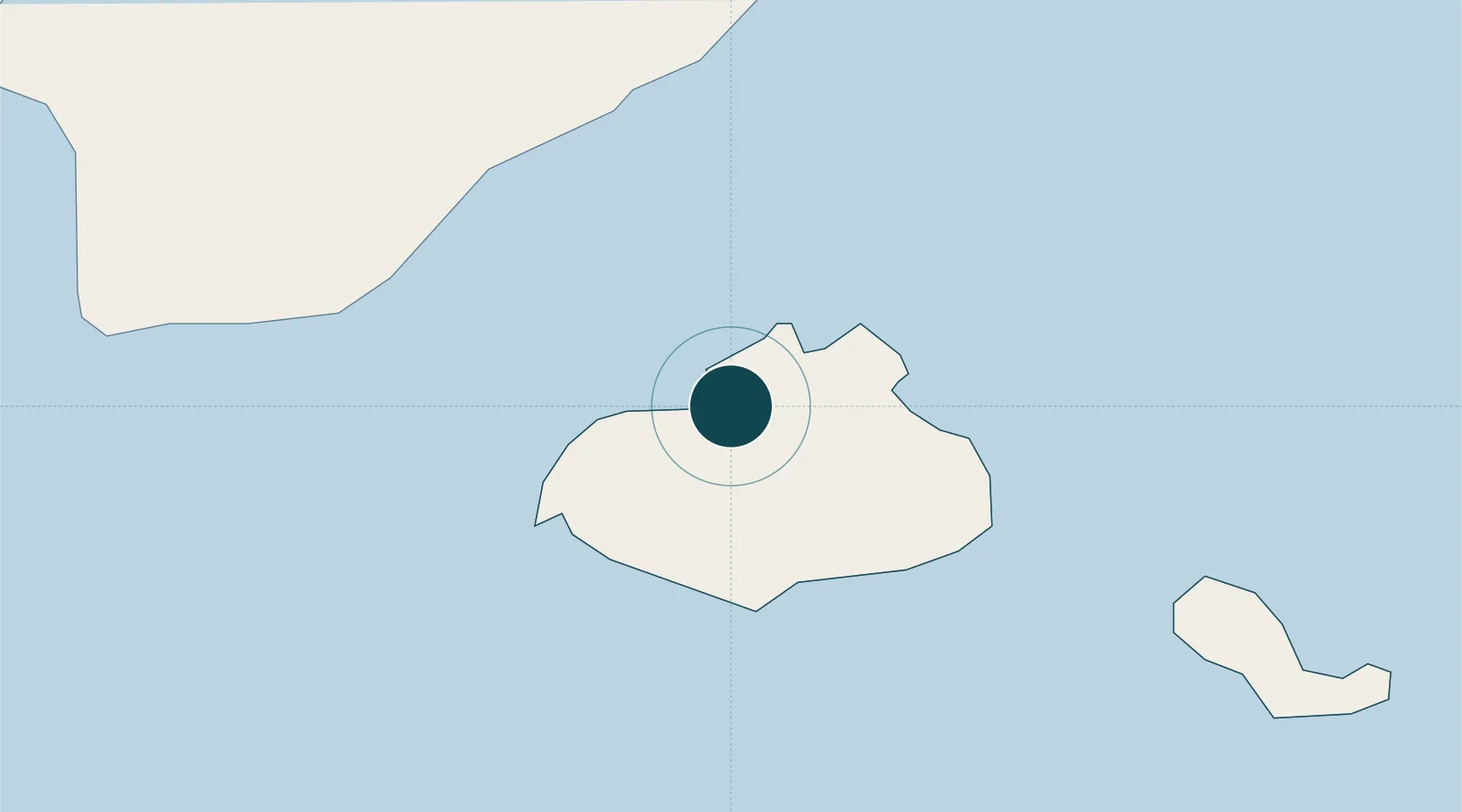
UNCTAD · Port Liner Shipping Connectivity Index

Location

Location of CVGRA
Natural Earth 10m (public domain) · São Vicente · CVGRA · 16.88, -25.00GoogleOSMYandex

Nearby Logistics Neighbours

Ports
  1. 1Porto Da Praia270 km
  2. 2Dakar846 km
  3. 3M Bao Oil Terminal848 km
  4. 4Rufisque861 km
  5. 5St Louis910 km
Nearest neighbours — logibook spatial index (haversine) over the source coordinates
Cities
  1. 1Mindelo1 km
  2. 2Praia272 km
  3. 3Dakar848 km
  4. 4Thiès893 km
  5. 5Saint Louis911 km
Nearest neighbours — logibook spatial index (haversine) over the source coordinates
Airports
  1. 1Cesaria Evora International Airport8 km
  2. 2Preguiça Airport83 km
  3. 3Amílcar Cabral International Airport219 km
  4. 4São Filipe Airport229 km
  5. 5Aristides Pereira International Airport240 km
Nearest neighbours — logibook spatial index (haversine) over the source coordinates
Trade Zones
  1. 1São Vicente Maritime Special Economic Zone2 km
  2. 2Lazaretto Industrial Park3 km
  3. 3TechPark Cabo Verde271 km
  4. 4Dakar Industrial Free Trade Zone853 km
  5. 5Diamniadio Special Economic Zone865 km
Nearest neighbours — logibook spatial index (haversine) over the source coordinates
DatabookThe Record of Consolidated Knowledge
Cape Verde beyond logistics?
Browse databook

All Sources

Portsthe NGA World Port Index
Public domain (US gov)
Logistics performanceUNCTAD
CC BY 3.0 IGO
AirportsOurAirports
Public domain
LocationsUN/LOCODE
UN/LOCODE — free
Trade Zonesthe World Bank SEZ database
CC BY 4.0
Trade ZonesOpen Zone Map
CC BY
← Cape Verde ports