Seaport · Cape Verde
Porto Da PraiaCVRAI
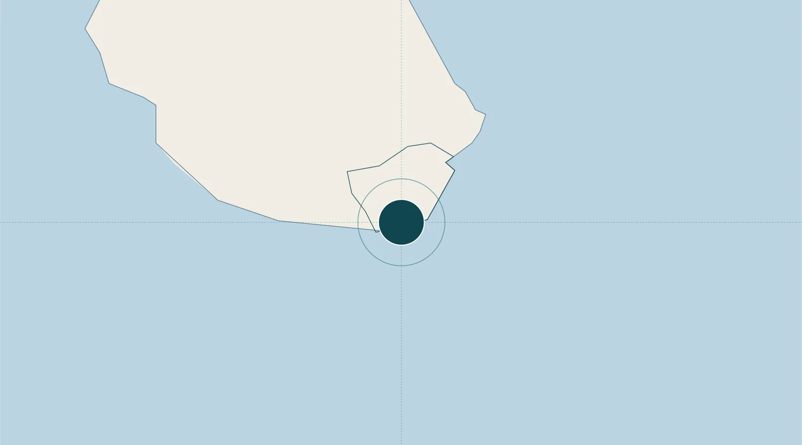
14.9167°, -23.5167°
6.4 m
Channel depth
1
Container terminals
41.1
Port liner connectivity
Channel & Berth Profile
Pilotage, Tugs & Services
Pilotage compulsoryYES
Pilotage advisableYES
Tug assistanceYES
Potable waterYES
Diesel bunkersYES
MedicalYES
Facilities & Capabilities
Container—
Ro-Ro—
Liquid bulk—
Dry bulk—
Oil terminal—
Break bulk—
Dry dock—
RepairsNO
BunkeringYES
Rail link—
Dangerous cargo—
ISPS security—
Harbour Specifications
Harbour size
Small
Harbour type
Coastal (Breakwater)
Shelter
Fair
Water body
North Atlantic Ocean
Tidal range
1 m
Overhead limit
No
Pilotage
Yes
Liner Connectivity
41.1
PLSCI
Port Liner Shipping Connectivity Index for Porto Da Praia, as published by UNCTAD for the latest available quarter. Higher values indicate stronger scheduled liner-shipping integration.
Shown relative to the highest per-port PLSCI in the dataset (1,657.9).
Location
Container Terminals · 1
PORTO DA PRAIA
PRAI PORTOS DE CABO VERDE (ENAPOR)
Nearby Logistics Neighbours
Ports
- 1Porto Grande270 km
- 2Dakar655 km
- 3M Bao Oil Terminal658 km
- 4Rufisque671 km
- 5St Louis760 km
Cities
- 1Porto Grande269 km
- 2Mindelo271 km
- 3Dakar657 km
- 4Thiès708 km
- 5Sanyang752 km
Airports
- 1Nelson Mandela International Airport4 km
- 2Maio Airport42 km
- 3São Filipe Airport104 km
- 4Aristides Pereira International Airport151 km
- 5Preguiça Airport203 km
Trade Zones
DatabookThe Record of Consolidated Knowledge
Cape Verde beyond logistics?