Large airport · Cape Verde

Cesaria Evora International AirportGVSV
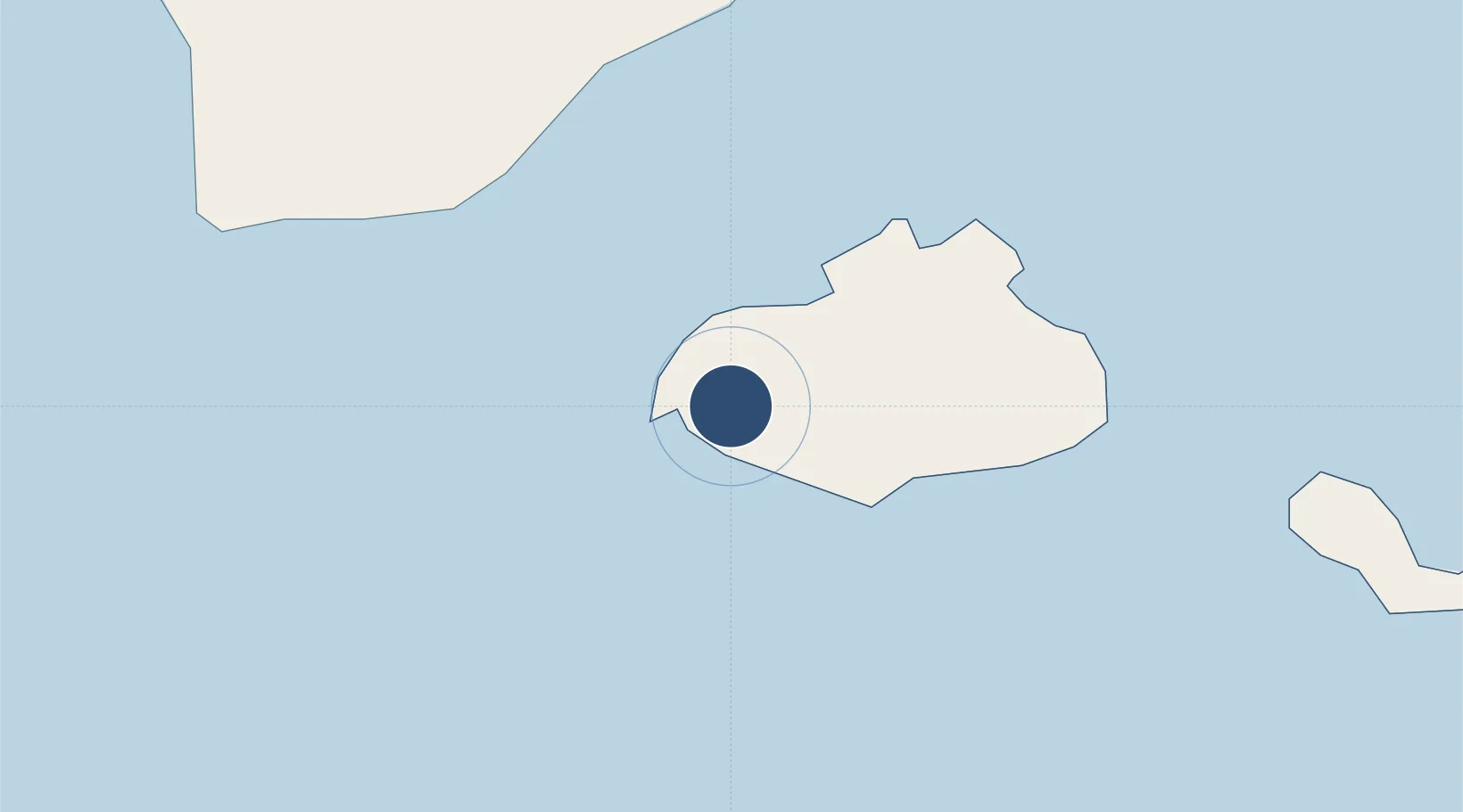
16.8334°, -25.0553°
6,561 ft
Longest runway
1
Runways
66 ft
Elevation

Runway & Layout

Cesaria Evora International Airport runway & taxiway layout
Runway & taxiway layout — OpenStreetMap (ODbL) / OurAirports

Radio Frequencies

TWR
118.4 MHz
SAO VICENTE TWR
APP
118.4 MHz
SAO VICENTE APP
OurAirports

Navaids

SVT NDB Sao Vicente 333 kHz
OurAirports

Runways · 1

RunwayDimensions SurfaceTrue headingLit
06/24 6,561 × 98ft Asphalt 054°
OurAirports

Airport Specifications

IATA code
VXE
OurAirports
ICAO code
GVSV
OurAirports
Airport class
Large airport
OurAirports
Scheduled service
Yes
OurAirports
Runway surface
Asphalt
OurAirports
Served city
São Pedro
OurAirports

Location

Location of GVSV
Natural Earth 10m (public domain) · São Vicente · GVSV · 16.83, -25.06GoogleOSMYandex

Nearby Logistics Neighbours

Airports
  1. 1Preguiça Airport87 km
  2. 2Amílcar Cabral International Airport224 km
  3. 3São Filipe Airport225 km
  4. 4Aristides Pereira International Airport244 km
  5. 5Nelson Mandela International Airport269 km
Nearest neighbours — logibook spatial index (haversine) over the source coordinates
Cities
  1. 1Porto Grande7 km
  2. 2Mindelo9 km
  3. 3Praia271 km
  4. 4Dakar852 km
  5. 5Thiès898 km
Nearest neighbours — logibook spatial index (haversine) over the source coordinates
Ports
  1. 1Porto Grande8 km
  2. 2Porto Da Praia269 km
  3. 3Dakar850 km
  4. 4M Bao Oil Terminal852 km
  5. 5Rufisque865 km
Nearest neighbours — logibook spatial index (haversine) over the source coordinates
Trade Zones
  1. 1Lazaretto Industrial Park5 km
  2. 2São Vicente Maritime Special Economic Zone6 km
  3. 3TechPark Cabo Verde270 km
  4. 4Dakar Industrial Free Trade Zone857 km
  5. 5Diamniadio Special Economic Zone870 km
Nearest neighbours — logibook spatial index (haversine) over the source coordinates
DatabookThe Record of Consolidated Knowledge
Cape Verde beyond logistics?
Browse databook

All Sources

AirportsOurAirports
Public domain
Portsthe NGA World Port Index
Public domain (US gov)
LocationsUN/LOCODE
UN/LOCODE — free
Trade Zonesthe World Bank SEZ database
CC BY 4.0
Trade ZonesOpen Zone Map
CC BY
InfrastructureOpenStreetMap
ODbL 1.0
← Cape Verde airports