Specialized Zone · Cape Verde

TechPark Cabo Verde Active
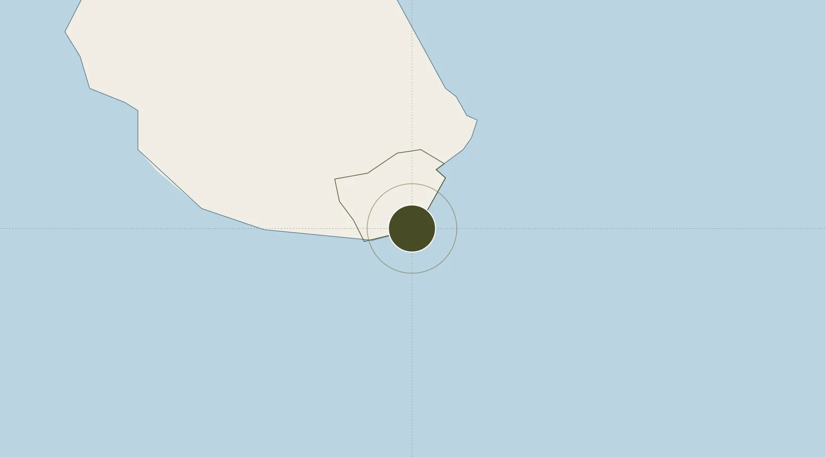
14.9190°, -23.4984°
17 ha
Zone area
2.0 km
Nearest port
2.9 km
Nearest airport

Gateway access

Nearest neighbours — logibook spatial index (haversine) over the source coordinates

Zone profile

Zone type
Specialized Zone
Open Zone Map
Specialization
IT
Open Zone Map
Region
Praia
Open Zone Map
Status
Active
Open Zone Map
Management
Private
Open Zone Map
Operator
NOSi
Open Zone Map
Legal framework
Decree-Law No. 82-9 of July 13 2020
Open Zone Map

Location

Location of ozm-250
Natural Earth 10m (public domain) · Praia · ozm-250 · 14.92, -23.50GoogleOSMYandex

Nearby Logistics Neighbours

Ports
  1. 1Porto Da Praia2 km
  2. 2Porto Grande271 km
  3. 3Dakar653 km
  4. 4M Bao Oil Terminal656 km
  5. 5Rufisque669 km
Nearest neighbours — logibook spatial index (haversine) over the source coordinates
Airports
  1. 1Nelson Mandela International Airport3 km
  2. 2Maio Airport40 km
  3. 3São Filipe Airport106 km
  4. 4Aristides Pereira International Airport150 km
  5. 5Preguiça Airport204 km
Nearest neighbours — logibook spatial index (haversine) over the source coordinates
Cities
  1. 1Praia1 km
  2. 2Porto Grande270 km
  3. 3Mindelo272 km
  4. 4Dakar655 km
  5. 5Thiès706 km
Nearest neighbours — logibook spatial index (haversine) over the source coordinates
Trade Zones
  1. 1Lazaretto Industrial Park271 km
  2. 2São Vicente Maritime Special Economic Zone271 km
  3. 3Dakar Industrial Free Trade Zone662 km
  4. 4Diamniadio Special Economic Zone675 km
  5. 5Ndayane Port Special Economic Zone688 km
Nearest neighbours — logibook spatial index (haversine) over the source coordinates
DatabookThe Record of Consolidated Knowledge
Cape Verde beyond logistics?
Browse databook

All Sources

Trade ZonesOpen Zone Map
CC BY
Portsthe NGA World Port Index
Public domain (US gov)
AirportsOurAirports
Public domain
LocationsUN/LOCODE
UN/LOCODE — free
← Cape Verde trade zones