Medium airport · Cape Verde

Preguiça AirportGVSN
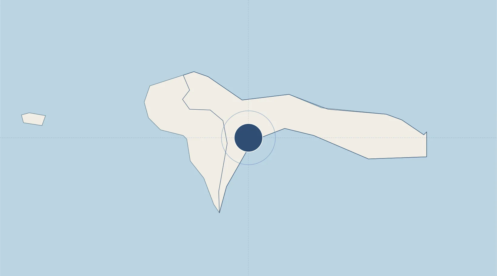
16.5889°, -24.2841°
4,593 ft
Longest runway
1
Runways
669 ft
Elevation

Runway & Layout

Preguiça Airport runway & taxiway layout
Runway & taxiway layout — OpenStreetMap (ODbL) / OurAirports

Navaids

NCL NDB Sao Nicolau 357 kHz
OurAirports

Runways · 1

RunwayDimensions SurfaceTrue headingLit
01/19 4,593 × 98ft Asphalt 356°
OurAirports

Airport Specifications

IATA code
SNE
OurAirports
ICAO code
GVSN
OurAirports
Airport class
Medium airport
OurAirports
Scheduled service
Yes
OurAirports
Runway surface
Asphalt
OurAirports
Served city
Preguiça
OurAirports

Location

Location of GVSN
Natural Earth 10m (public domain) · Ribeira Brava · GVSN · 16.59, -24.28GoogleOSMYandex

Nearby Logistics Neighbours

Airports
  1. 1Cesaria Evora International Airport87 km
  2. 2Amílcar Cabral International Airport143 km
  3. 3Aristides Pereira International Airport157 km
  4. 4São Filipe Airport191 km
  5. 5Maio Airport196 km
Nearest neighbours — logibook spatial index (haversine) over the source coordinates
Cities
  1. 1Porto Grande82 km
  2. 2Mindelo83 km
  3. 3Praia205 km
  4. 4Dakar765 km
  5. 5Thiès812 km
Nearest neighbours — logibook spatial index (haversine) over the source coordinates
Ports
  1. 1Porto Grande83 km
  2. 2Porto Da Praia203 km
  3. 3Dakar764 km
  4. 4M Bao Oil Terminal766 km
  5. 5Rufisque778 km
Nearest neighbours — logibook spatial index (haversine) over the source coordinates
Trade Zones
  1. 1São Vicente Maritime Special Economic Zone84 km
  2. 2Lazaretto Industrial Park84 km
  3. 3TechPark Cabo Verde204 km
  4. 4Dakar Industrial Free Trade Zone771 km
  5. 5Diamniadio Special Economic Zone783 km
Nearest neighbours — logibook spatial index (haversine) over the source coordinates
DatabookThe Record of Consolidated Knowledge
Cape Verde beyond logistics?
Browse databook

All Sources

AirportsOurAirports
Public domain
Portsthe NGA World Port Index
Public domain (US gov)
LocationsUN/LOCODE
UN/LOCODE — free
Trade Zonesthe World Bank SEZ database
CC BY 4.0
Trade ZonesOpen Zone Map
CC BY
InfrastructureOpenStreetMap
ODbL 1.0
← Cape Verde airports