UN/LOCODE hub · Cape Verde
CVMIN
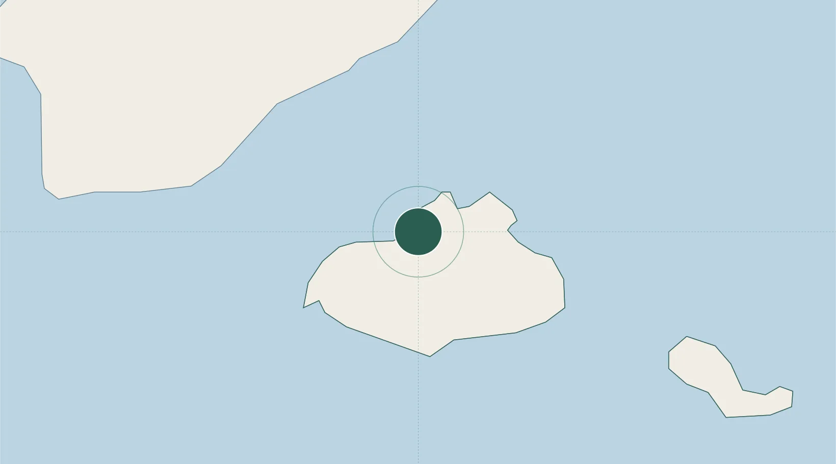
Mindelo
16.8897°, -24.9978°
69,013
Population
2
Transport functions
1
Container terminals
Transport Functions
Port
Road
Hub Profile
Place type
Regional capital
Region
São Vicente
Population
69,013
Time zone
Atlantic/Cape_Verde
Elevation
44 m
Logistics facilities
1
Container terminals
1
Location
Nearby Logistics Neighbours
Cities
- 1Porto Grande3 km
- 2Praia272 km
- 3Dakar848 km
- 4Thiès893 km
- 5Saint Louis911 km
Ports
- 1Porto Grande1 km
- 2Porto Da Praia271 km
- 3Dakar846 km
- 4M Bao Oil Terminal848 km
- 5Rufisque861 km
Airports
Trade Zones
DatabookThe Record of Consolidated Knowledge
Cape Verde beyond logistics?