UN/LOCODE hub · Cape Verde
CVRAI
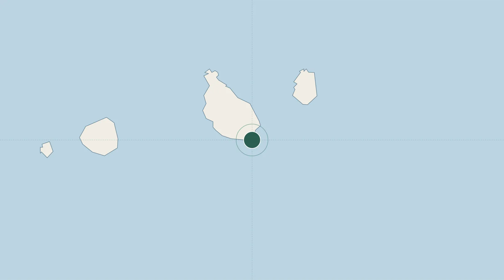
Praia
14.9100°, -23.4986°
137,868
Population
2
Transport functions
1
Container terminals
Transport Functions
Port
Airport
Hub Profile
Place type
National capital
Region
Praia
Population
137,868
Time zone
Atlantic/Cape_Verde
Elevation
0 m
Logistics facilities
1
Container terminals
1
Location
Nearby Logistics Neighbours
Cities
- 1Porto Grande270 km
- 2Mindelo272 km
- 3Dakar655 km
- 4Thiès706 km
- 5Sanyang750 km
Ports
- 1Porto Grande272 km
- 2Dakar653 km
- 3M Bao Oil Terminal656 km
- 4Rufisque669 km
- 5St Louis758 km
Airports
- 1Nelson Mandela International Airport4 km
- 2Maio Airport41 km
- 3São Filipe Airport106 km
- 4Aristides Pereira International Airport151 km
- 5Preguiça Airport205 km
Trade Zones
DatabookThe Record of Consolidated Knowledge
Cape Verde beyond logistics?