Export Processing Zone · Cape Verde

Lazaretto Industrial Park Active
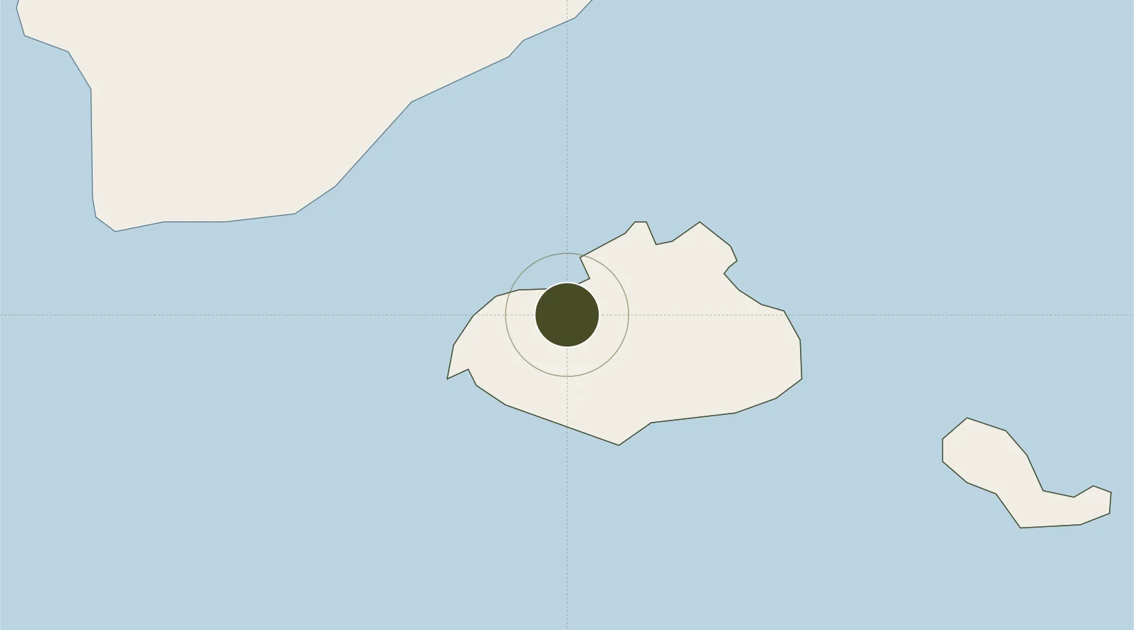
16.8656°, -25.0199°
4 ha
Zone area
2.9 km
Nearest port
5.2 km
Nearest airport

Gateway access

Nearest neighbours — logibook spatial index (haversine) over the source coordinates

Zone profile

Zone type
Export Processing Zone
Open Zone Map
Region
São Vicente
Open Zone Map
Status
Active
Open Zone Map
Management
Public
Open Zone Map
Operator
State Owned
Open Zone Map
Legal framework
Decree-Law No. 69 of 2020
Open Zone Map

Location

Location of ozm-249
Natural Earth 10m (public domain) · São Vicente · ozm-249 · 16.87, -25.02GoogleOSMYandex

Nearby Logistics Neighbours

Ports
  1. 1Porto Grande3 km
  2. 2Porto Da Praia270 km
  3. 3Dakar847 km
  4. 4M Bao Oil Terminal850 km
  5. 5Rufisque862 km
Nearest neighbours — logibook spatial index (haversine) over the source coordinates
Airports
  1. 1Cesaria Evora International Airport5 km
  2. 2Preguiça Airport84 km
  3. 3Amílcar Cabral International Airport221 km
  4. 4São Filipe Airport228 km
  5. 5Aristides Pereira International Airport241 km
Nearest neighbours — logibook spatial index (haversine) over the source coordinates
Cities
  1. 1Porto Grande2 km
  2. 2Mindelo4 km
  3. 3Praia272 km
  4. 4Dakar849 km
  5. 5Thiès895 km
Nearest neighbours — logibook spatial index (haversine) over the source coordinates
Trade Zones
  1. 1São Vicente Maritime Special Economic Zone1 km
  2. 2TechPark Cabo Verde271 km
  3. 3Dakar Industrial Free Trade Zone854 km
  4. 4Diamniadio Special Economic Zone867 km
  5. 5Dakar Integrated Special Economic Zone883 km
Nearest neighbours — logibook spatial index (haversine) over the source coordinates
DatabookThe Record of Consolidated Knowledge
Cape Verde beyond logistics?
Browse databook

All Sources

Trade ZonesOpen Zone Map
CC BY
Portsthe NGA World Port Index
Public domain (US gov)
AirportsOurAirports
Public domain
LocationsUN/LOCODE
UN/LOCODE — free
← Cape Verde trade zones