Large airport · Cape Verde

Aristides Pereira International AirportGVBA
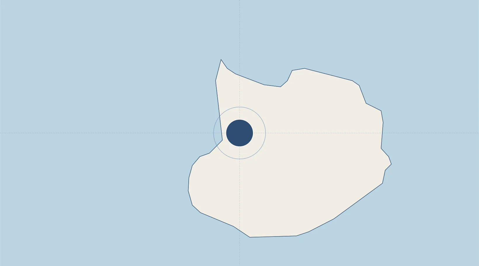
16.1365°, -22.8889°
6,890 ft
Longest runway
1
Runways
69 ft
Elevation

Runway & Layout

Aristides Pereira International Airport runway & taxiway layout
Runway & taxiway layout — OpenStreetMap (ODbL) / OurAirports

Radio Frequencies

Tower
118.9 MHz
Boa Vista Tower
OurAirports

Navaids

BVT NDB Rabil 341 kHz
OurAirports

Runways · 1

RunwayDimensions SurfaceTrue headingLit
03/21 6,890 × 148ft Asphalt 016°
OurAirports

Airport Specifications

IATA code
BVC
OurAirports
ICAO code
GVBA
OurAirports
Airport class
Large airport
OurAirports
Scheduled service
Yes
OurAirports
Runway surface
Asphalt
OurAirports
Served city
Rabil
OurAirports

Location

Location of GVBA
Natural Earth 10m (public domain) · Boa Vista · GVBA · 16.14, -22.89GoogleOSMYandex

Nearby Logistics Neighbours

Airports
  1. 1Amílcar Cabral International Airport68 km
  2. 2Maio Airport114 km
  3. 3Nelson Mandela International Airport148 km
  4. 4Preguiça Airport157 km
  5. 5São Filipe Airport220 km
Nearest neighbours — logibook spatial index (haversine) over the source coordinates
Cities
  1. 1Praia151 km
  2. 2Porto Grande239 km
  3. 3Mindelo240 km
  4. 4Dakar609 km
  5. 5Thiès655 km
Nearest neighbours — logibook spatial index (haversine) over the source coordinates
Ports
  1. 1Porto Da Praia151 km
  2. 2Porto Grande240 km
  3. 3Dakar607 km
  4. 4M Bao Oil Terminal609 km
  5. 5Rufisque622 km
Nearest neighbours — logibook spatial index (haversine) over the source coordinates
Trade Zones
  1. 1TechPark Cabo Verde150 km
  2. 2São Vicente Maritime Special Economic Zone241 km
  3. 3Lazaretto Industrial Park241 km
  4. 4Dakar Industrial Free Trade Zone614 km
  5. 5Diamniadio Special Economic Zone627 km
Nearest neighbours — logibook spatial index (haversine) over the source coordinates
DatabookThe Record of Consolidated Knowledge
Cape Verde beyond logistics?
Browse databook

All Sources

AirportsOurAirports
Public domain
Portsthe NGA World Port Index
Public domain (US gov)
LocationsUN/LOCODE
UN/LOCODE — free
Trade Zonesthe World Bank SEZ database
CC BY 4.0
Trade ZonesOpen Zone Map
CC BY
InfrastructureOpenStreetMap
ODbL 1.0
← Cape Verde airports