Large airport · Cape Verde

Amílcar Cabral International AirportGVAC
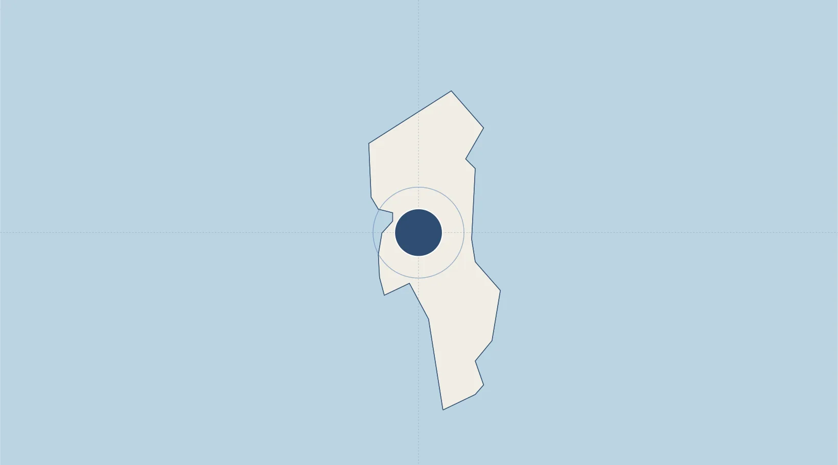
16.7414°, -22.9494°
9,843 ft
Longest runway
1
Runways
177 ft
Elevation

Runway & Layout

Amílcar Cabral International Airport runway & taxiway layout
Runway & taxiway layout — OpenStreetMap (ODbL) / OurAirports

Radio Frequencies

AWOS
127.6 MHz
TWR
119.7 MHz
APP
126.4 MHz
SAL APP - (V)
A/G
345.2 MHz
OurAirports

Navaids

CVS VOR-DME Sal 115.30 MHz
SAL NDB Sal 274 kHz
OurAirports

Runways · 1

RunwayDimensions SurfaceTrue headingLit
01/19 9,843 × 148ft Asphalt 358°
OurAirports

Airport Specifications

IATA code
SID
OurAirports
ICAO code
GVAC
OurAirports
Airport class
Large airport
OurAirports
Scheduled service
Yes
OurAirports
Runway surface
Asphalt
OurAirports
Served city
Espargos
OurAirports

Location

Location of GVAC
Natural Earth 10m (public domain) · Sal · GVAC · 16.74, -22.95GoogleOSMYandex

Nearby Logistics Neighbours

Airports
  1. 1Aristides Pereira International Airport68 km
  2. 2Preguiça Airport143 km
  3. 3Maio Airport179 km
  4. 4Nelson Mandela International Airport208 km
  5. 5Cesaria Evora International Airport224 km
Nearest neighbours — logibook spatial index (haversine) over the source coordinates
Cities
  1. 1Praia212 km
  2. 2Mindelo219 km
  3. 3Porto Grande219 km
  4. 4Dakar635 km
  5. 5Thiès679 km
Nearest neighbours — logibook spatial index (haversine) over the source coordinates
Ports
  1. 1Porto Da Praia212 km
  2. 2Porto Grande219 km
  3. 3Dakar633 km
  4. 4M Bao Oil Terminal635 km
  5. 5Rufisque648 km
Nearest neighbours — logibook spatial index (haversine) over the source coordinates
Trade Zones
  1. 1TechPark Cabo Verde211 km
  2. 2São Vicente Maritime Special Economic Zone220 km
  3. 3Lazaretto Industrial Park221 km
  4. 4Dakar Industrial Free Trade Zone640 km
  5. 5Diamniadio Special Economic Zone652 km
Nearest neighbours — logibook spatial index (haversine) over the source coordinates
DatabookThe Record of Consolidated Knowledge
Cape Verde beyond logistics?
Browse databook

All Sources

AirportsOurAirports
Public domain
Portsthe NGA World Port Index
Public domain (US gov)
LocationsUN/LOCODE
UN/LOCODE — free
Trade Zonesthe World Bank SEZ database
CC BY 4.0
Trade ZonesOpen Zone Map
CC BY
InfrastructureOpenStreetMap
ODbL 1.0
← Cape Verde airports