UN/LOCODE hub · Cape Verde
CVGRA

Porto Grande

16.8667°, -25.0000°
1
Transport functions

Transport Functions

Port
Porto Grande is also a profiled seaport →
UN/LOCODE

Hub Profile

Region
SV
GeoNames

Location

Location of CVGRA
Natural Earth 10m (public domain) · SV · CVGRA · 16.87, -25.00GoogleOSMYandex

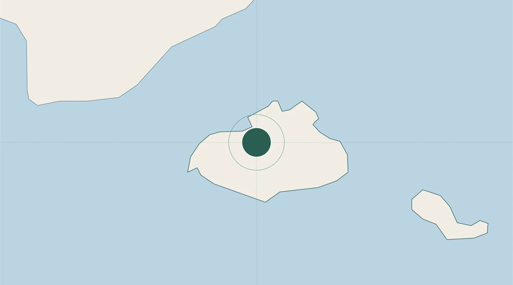
Nearby Logistics Neighbours

Cities
  1. 1Mindelo3 km
  2. 2Praia270 km
  3. 3Dakar847 km
  4. 4Thiès893 km
  5. 5Saint Louis911 km
Nearest neighbours — logibook spatial index (haversine) over the source coordinates
Ports
  1. 1Porto Da Praia269 km
  2. 2Dakar845 km
  3. 3M Bao Oil Terminal848 km
  4. 4Rufisque860 km
  5. 5St Louis910 km
Nearest neighbours — logibook spatial index (haversine) over the source coordinates
Airports
  1. 1Cesaria Evora International Airport7 km
  2. 2Preguiça Airport82 km
  3. 3Amílcar Cabral International Airport219 km
  4. 4São Filipe Airport227 km
  5. 5Aristides Pereira International Airport239 km
Nearest neighbours — logibook spatial index (haversine) over the source coordinates
Trade Zones
  1. 1São Vicente Maritime Special Economic Zone2 km
  2. 2Lazaretto Industrial Park2 km
  3. 3TechPark Cabo Verde270 km
  4. 4Dakar Industrial Free Trade Zone852 km
  5. 5Diamniadio Special Economic Zone865 km
Nearest neighbours — logibook spatial index (haversine) over the source coordinates
DatabookThe Record of Consolidated Knowledge
Cape Verde beyond logistics?
Browse databook

All Sources

LocationsUN/LOCODE
UN/LOCODE — free
Portsthe NGA World Port Index
Public domain (US gov)
AirportsOurAirports
Public domain
Trade Zonesthe World Bank SEZ database
CC BY 4.0
Trade ZonesOpen Zone Map
CC BY
← Cape Verde locations