Channel & Berth Profile
Pilotage, Tugs & Services
Pilotage compulsoryYES
Pilotage availableYES
Pilotage advisableYES
Shore powerNO
Potable waterYES
Diesel bunkersYES
MedicalYES
Garbage disposalNO
Facilities & Capabilities
Container—
Ro-Ro—
Liquid bulk—
Dry bulk—
Oil terminal—
Break bulk—
Dry dock—
RepairsNO
BunkeringYES
Rail link—
Dangerous cargo—
ISPS security—
Harbour Specifications
Harbour size
Very Small
Harbour type
Coastal (Natural)
Shelter
Fair
Water body
North Pacific Ocean
Tidal range
3 m
Overhead limit
No
Pilotage
Yes
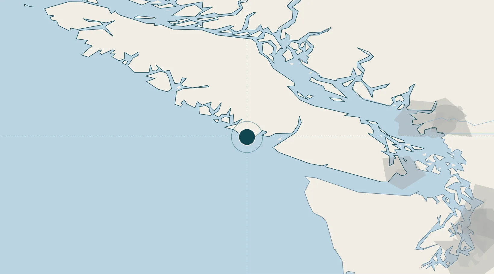
Location
Nearby Logistics Neighbours
Ports
- 1Port Alberni62 km
- 2Gold River91 km
- 3Comox Harbor92 km
- 4Neah Bay94 km
- 5Nanoose Harbor108 km
Cities
- 1Denman Island86 km
- 2Tatoosh Island87 km
- 3Lantzville112 km
- 4Campbell River121 km
- 5Clallam Bay121 km
Airports
Trade Zones
- 1FTZ Vancouver Island180 km
- 2FTZ No. 173 Grays Harbor218 km
- 3FTZ No. 128 Whatcom County220 km
- 4FTZ No. 129 Bellingham222 km
- 5FTZ No. 085 Everett267 km
DatabookThe Record of Consolidated Knowledge
Canada beyond logistics?