Seaport · United States

Neah BayUSNEB

48.3667°, -124.6167°
4.9 m
Channel depth

Channel & Berth Profile

SEA LEVEL (CD)CHANNEL BEDChannel · 4.9 mCargo pier · 4.9 mAnchorage · 6.4 m
NGA World Port Index

Pilotage, Tugs & Services

Pilotage compulsoryYES
Shore powerNO
Potable waterYES
Diesel bunkersYES
NGA World Port Index

Facilities & Capabilities

Container
Ro-Ro
Liquid bulk
Dry bulk
Oil terminal
Break bulk
Dry dock
Repairs
Bunkering
Rail link
Dangerous cargo
ISPS security
NGA World Port Index

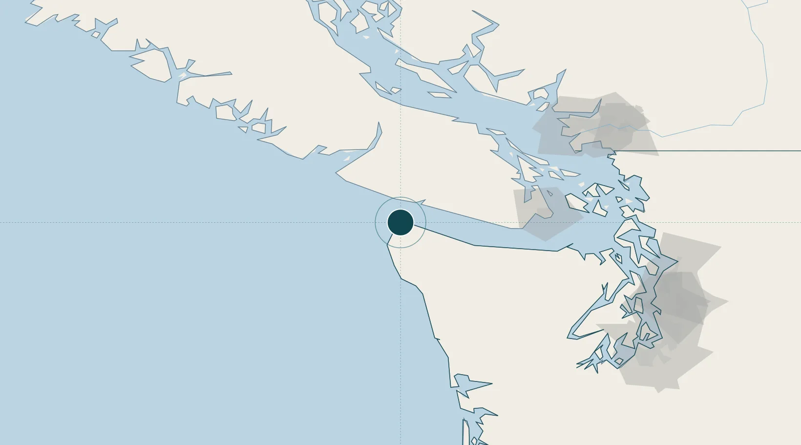
Harbour Specifications

Harbour size
Very Small
NGA World Port Index
Harbour type
Coastal (Breakwater)
NGA World Port Index
Shelter
Good
NGA World Port Index
Water body
Alaska-Canada coastal waters; North Pacific Ocean
NGA World Port Index
Tidal range
1.8 m
NGA World Port Index
Pilotage
Yes
NGA World Port Index

Location

Location of USNEB
Natural Earth 10m (public domain) · Washington · USNEB · 48.37, -124.62GoogleOSMYandex

Nearby Logistics Neighbours

Ports
  1. 1Bamberton84 km
  2. 2Cowichan Bay85 km
  3. 3Crofton91 km
  4. 4Victoria Harbor91 km
  5. 5Port Angeles92 km
Nearest neighbours — logibook spatial index (haversine) over the source coordinates
Cities
  1. 1Tatoosh Island9 km
  2. 2Clallam Bay28 km
  3. 3Duncan/Quam81 km
  4. 4Cobble Hill83 km
  5. 5Brentwood Bay89 km
Nearest neighbours — logibook spatial index (haversine) over the source coordinates
Airports
  1. 1Bamfield Seaplane Base65 km
  2. 2William R Fairchild International Airport87 km
  3. 3Maple Bay Seaplane Base90 km
  4. 4Victoria Harbour (Camel Point) Heliport91 km
  5. 5Victoria Airport Water Aerodrome92 km
Nearest neighbours — logibook spatial index (haversine) over the source coordinates
Trade Zones
  1. 1FTZ No. 173 Grays Harbor136 km
  2. 2FTZ Vancouver Island147 km
  3. 3FTZ No. 129 Bellingham159 km
  4. 4FTZ No. 128 Whatcom County160 km
  5. 5FTZ No. 005 Seattle180 km
Nearest neighbours — logibook spatial index (haversine) over the source coordinates
DatabookThe Record of Consolidated Knowledge
United States beyond logistics?
Browse databook

All Sources

Portsthe NGA World Port Index
Public domain (US gov)
AirportsOurAirports
Public domain
LocationsUN/LOCODE
UN/LOCODE — free
Trade Zonesthe World Bank SEZ database
CC BY 4.0
Trade ZonesOpen Zone Map
CC BY
← United States ports