Transport Functions
Port
Rail
Road
Hub Profile
Place type
Populated place
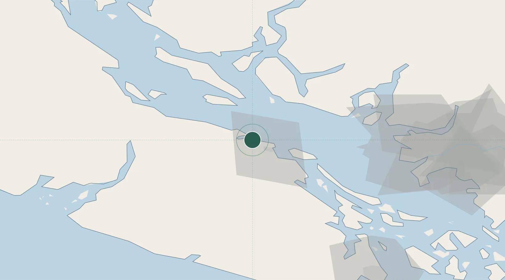
Region
British Columbia
Population
3,817
Time zone
America/Vancouver
Elevation
20 m
Location
Nearby Logistics Neighbours
Cities
- 1Nanaimo17 km
- 2Thetis Island42 km
- 3Bowen Island56 km
- 4Duncan/Quam58 km
- 5Denman Island62 km
Ports
- 1Nanoose Harbor5 km
- 2Harmac21 km
- 3Port Mellon53 km
- 4Port Alberni53 km
- 5Crofton54 km
Airports
- 1Nanaimo Harbour Water Aerodrome14 km
- 2Nanaimo Harbour Heliport15 km
- 3Qualicum Beach Airport25 km
- 4Nanaimo Airport27 km
- 5Silva Bay Seaplane Base30 km
Trade Zones
- 1FTZ Vancouver Island70 km
- 2FTZ No. 128 Whatcom County122 km
- 3FTZ No. 129 Bellingham126 km
- 4FTZ No. 085 Everett195 km
- 5FTZ No. 005 Seattle217 km
DatabookThe Record of Consolidated Knowledge
Canada beyond logistics?