UN/LOCODE hub · United States
USXMY
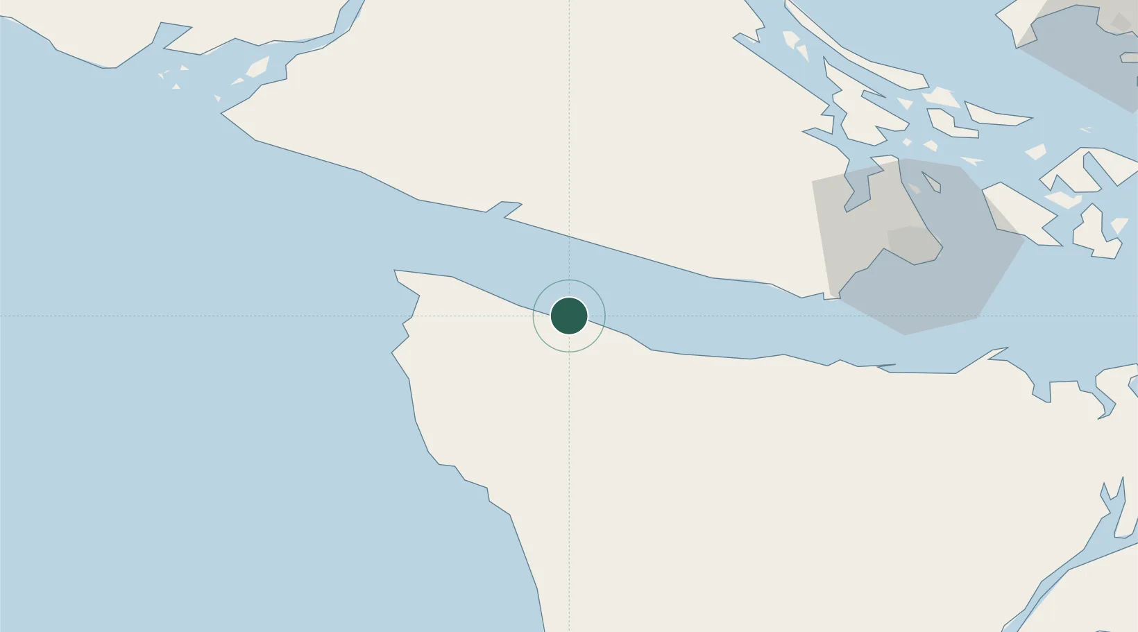
Clallam Bay
48.2667°, -124.2667°
363
Population
1
Transport functions
Transport Functions
Port
Hub Profile
Place type
Populated place
Region
Washington
Population
363
Time zone
America/Los_Angeles
Elevation
5 m
Location
Nearby Logistics Neighbours
Cities
- 1Tatoosh Island37 km
- 2Cobble Hill68 km
- 3Brentwood Bay70 km
- 4Victoria70 km
- 5Duncan/Quam70 km
Ports
- 1Neah Bay28 km
- 2Bamberton64 km
- 3Port Angeles64 km
- 4Victoria Harbor68 km
- 5Cowichan Bay72 km
Airports
Trade Zones
- 1FTZ No. 173 Grays Harbor123 km
- 2FTZ Vancouver Island138 km
- 3FTZ No. 129 Bellingham139 km
- 4FTZ No. 128 Whatcom County140 km
- 5FTZ No. 005 Seattle152 km
DatabookThe Record of Consolidated Knowledge
United States beyond logistics?