Transport Functions
Port
Multimodal
Hub Profile
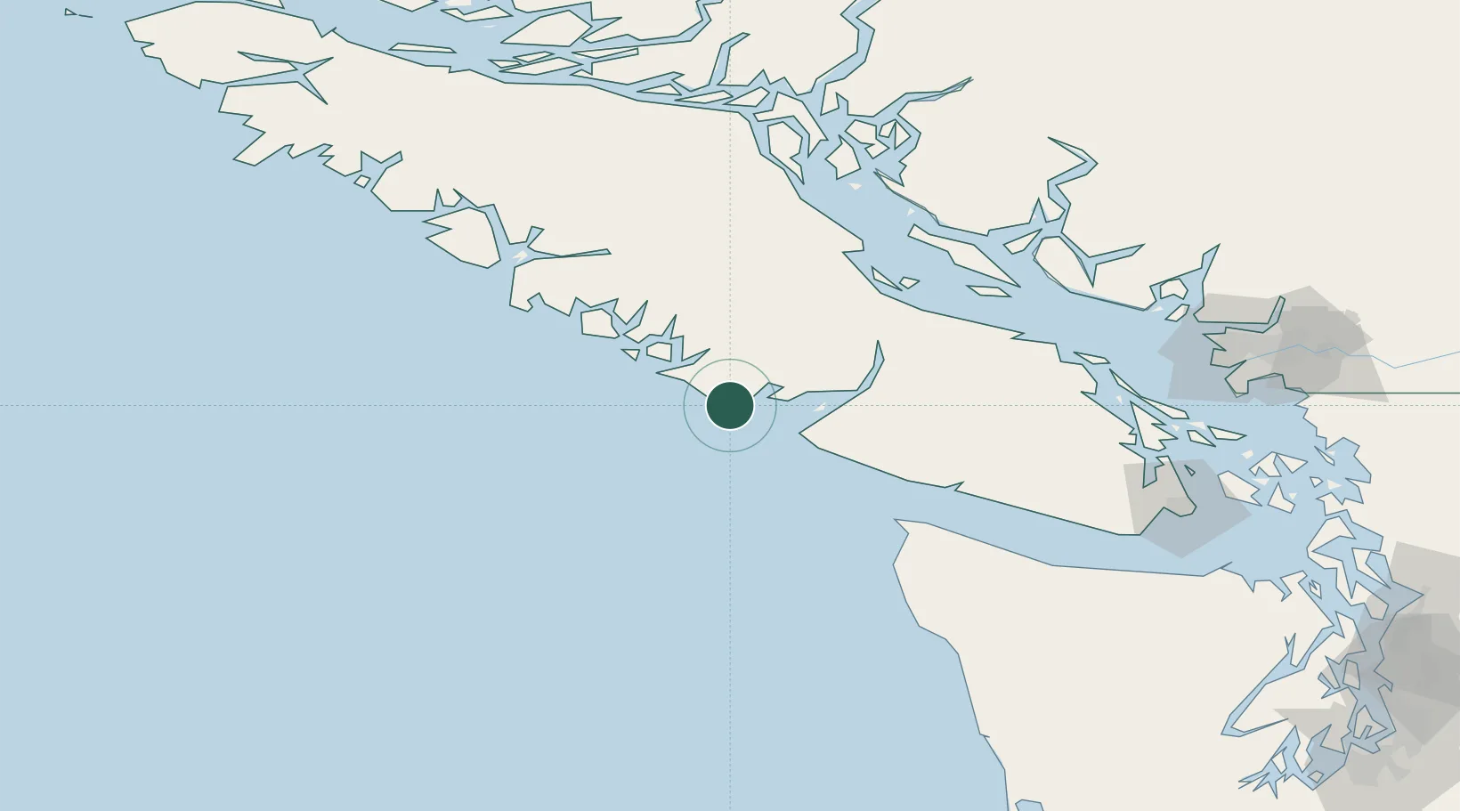
Place type
Populated place
Region
British Columbia
Population
2,066
Time zone
America/Vancouver
Elevation
20 m
Location
Nearby Logistics Neighbours
Cities
- 1Tatoosh Island84 km
- 2Denman Island86 km
- 3Lantzville110 km
- 4Clallam Bay118 km
- 5Nanaimo121 km
Ports
- 1Port Alberni61 km
- 2Neah Bay91 km
- 3Comox Harbor92 km
- 4Gold River94 km
- 5Nanoose Harbor106 km
Airports
Trade Zones
- 1FTZ Vancouver Island178 km
- 2FTZ No. 173 Grays Harbor215 km
- 3FTZ No. 128 Whatcom County217 km
- 4FTZ No. 129 Bellingham219 km
- 5FTZ No. 085 Everett264 km
DatabookThe Record of Consolidated Knowledge
Canada beyond logistics?