UN/LOCODE hub · Canada
CACAM
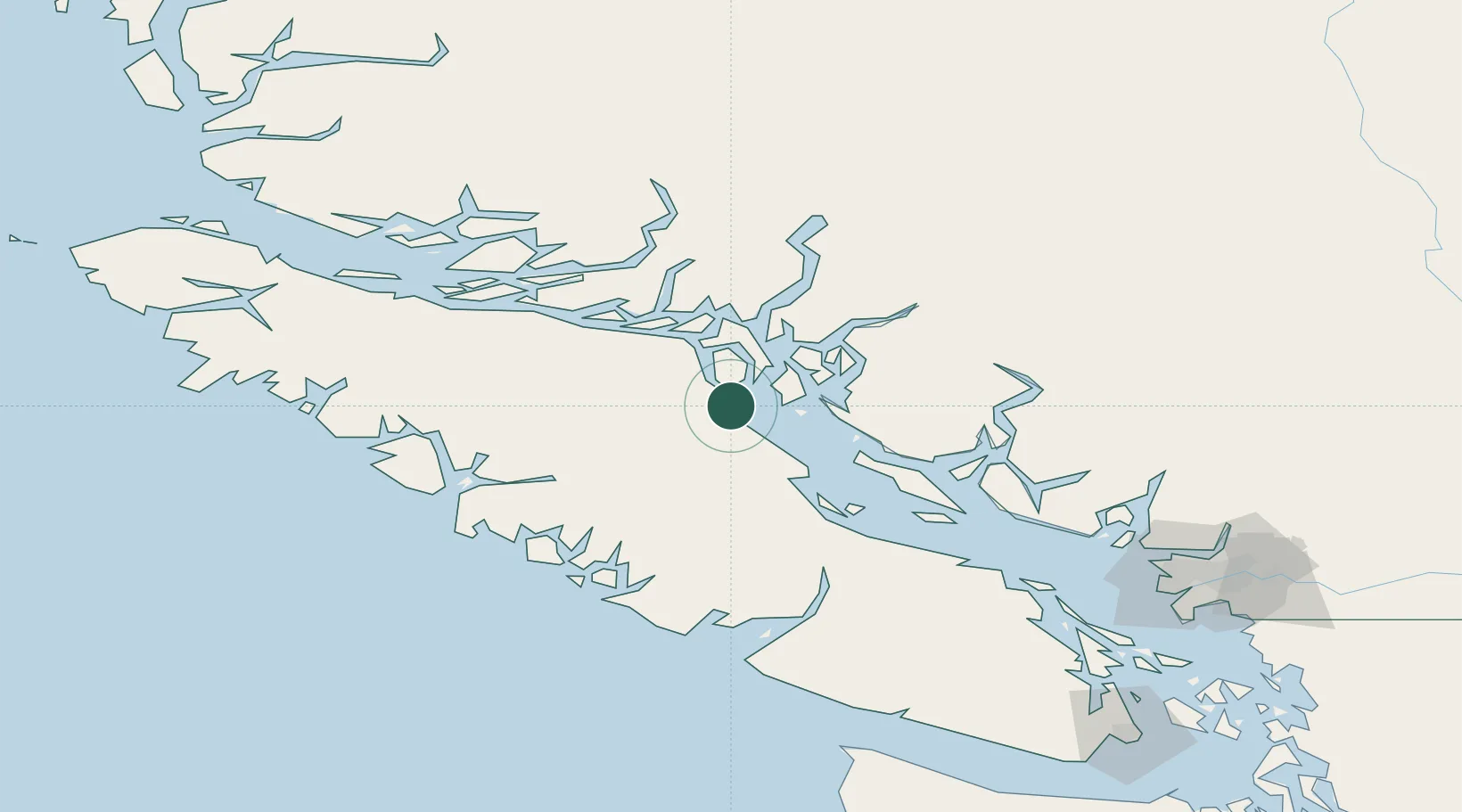
Campbell River
50.0167°, -125.2500°
33,430
Population
2
Transport functions
Transport Functions
Port
Airport
Hub Profile
Place type
Populated place
Region
British Columbia
Population
33,430
Time zone
America/Vancouver
Elevation
65 m
Location
Nearby Logistics Neighbours
Cities
- 1Sayward60 km
- 2Denman Island61 km
- 3Lantzville120 km
- 4Ucluelet122 km
- 5Beaver Cove128 km
Ports
- 1Duncan Bay6 km
- 2Comox Harbor46 km
- 3Gold River72 km
- 4Port Alberni93 km
- 5Tahsis102 km
Airports
Trade Zones
- 1FTZ Vancouver Island176 km
- 2FTZ No. 128 Whatcom County237 km
- 3FTZ No. 129 Bellingham242 km
- 4FTZ No. 085 Everett315 km
- 5FTZ No. 173 Grays Harbor324 km
DatabookThe Record of Consolidated Knowledge
Canada beyond logistics?