Transport Functions
Port
Road
Hub Profile
Place type
Populated place
Region
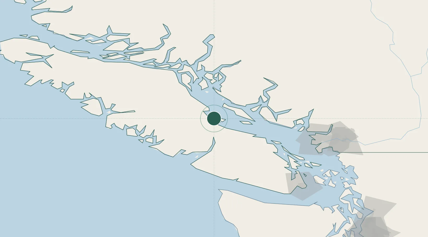
British Columbia
Population
1,020
Time zone
America/Vancouver
Elevation
8 m
Location
Nearby Logistics Neighbours
Cities
- 1Campbell River61 km
- 2Lantzville62 km
- 3Nanaimo79 km
- 4Ucluelet86 km
- 5Thetis Island103 km
Ports
- 1Comox Harbor16 km
- 2Port Alberni35 km
- 3Nanoose Harbor57 km
- 4Duncan Bay67 km
- 5Harmac83 km
Airports
Trade Zones
- 1FTZ Vancouver Island126 km
- 2FTZ No. 128 Whatcom County183 km
- 3FTZ No. 129 Bellingham187 km
- 4FTZ No. 085 Everett256 km
- 5FTZ No. 173 Grays Harbor268 km
DatabookThe Record of Consolidated Knowledge
Canada beyond logistics?