UN/LOCODE hub · United States
USTDI

Tatoosh Island

48.3833°, -124.7333°
1
Transport functions

Transport Functions

Port
UN/LOCODE

Hub Profile

Region
WA
GeoNames

Location

Location of USTDI
Natural Earth 10m (public domain) · WA · USTDI · 48.38, -124.73GoogleOSMYandex

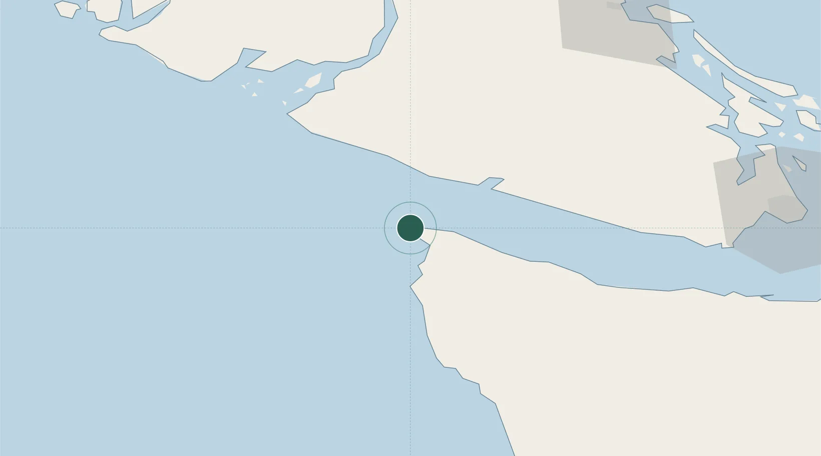
Nearby Logistics Neighbours

Cities
  1. 1Clallam Bay37 km
  2. 2Ucluelet84 km
  3. 3Duncan/Quam87 km
  4. 4Cobble Hill90 km
  5. 5Brentwood Bay97 km
Nearest neighbours — logibook spatial index (haversine) over the source coordinates
Ports
  1. 1Neah Bay9 km
  2. 2Ucluelet87 km
  3. 3Bamberton92 km
  4. 4Cowichan Bay92 km
  5. 5Port Alberni95 km
Nearest neighbours — logibook spatial index (haversine) over the source coordinates
Airports
  1. 1Bamfield Seaplane Base58 km
  2. 2Ucluelet Seaplane Base87 km
  3. 3Port Alberni Seaplane Base95 km
  4. 4Maple Bay Seaplane Base96 km
  5. 5William R Fairchild International Airport96 km
Nearest neighbours — logibook spatial index (haversine) over the source coordinates
Trade Zones
  1. 1FTZ No. 173 Grays Harbor139 km
  2. 2FTZ Vancouver Island152 km
  3. 3FTZ No. 129 Bellingham167 km
  4. 4FTZ No. 128 Whatcom County168 km
  5. 5FTZ No. 005 Seattle188 km
Nearest neighbours — logibook spatial index (haversine) over the source coordinates
DatabookThe Record of Consolidated Knowledge
United States beyond logistics?
Browse databook

All Sources

LocationsUN/LOCODE
UN/LOCODE — free
Portsthe NGA World Port Index
Public domain (US gov)
AirportsOurAirports
Public domain
Trade Zonesthe World Bank SEZ database
CC BY 4.0
Trade ZonesOpen Zone Map
CC BY
← United States locations