Seaplane base · Canada

Ucluelet Seaplane BaseCAN3

48.9500°, -125.5500°

Runway & Layout

Ucluelet Seaplane Base runway & taxiway layout
Runway & taxiway layout — OpenStreetMap (ODbL) / OurAirports

Airport Specifications
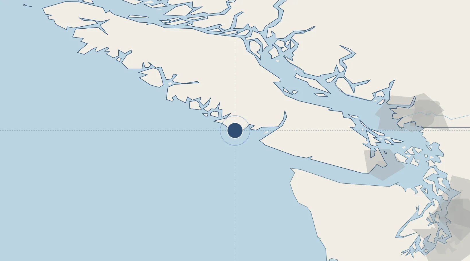
ICAO code
CAN3
OurAirports
Airport class
Seaplane base
OurAirports
Scheduled service
Yes
OurAirports
Served city
Ucluelet
OurAirports

Location

Location of CAN3
Natural Earth 10m (public domain) · British Columbia · CAN3 · 48.95, -125.55GoogleOSMYandex

Nearby Logistics Neighbours

Airports
  1. 1Tofino / Long Beach Airport22 km
  2. 2Bamfield Seaplane Base33 km
  3. 3Tofino Harbour Seaplane Base35 km
  4. 4Port Alberni Seaplane Base62 km
  5. 5Comox Seaplane Base92 km
Nearest neighbours — logibook spatial index (haversine) over the source coordinates
Cities
  1. 1Ucluelet3 km
  2. 2Denman Island86 km
  3. 3Tatoosh Island87 km
  4. 4Lantzville112 km
  5. 5Campbell River121 km
Nearest neighbours — logibook spatial index (haversine) over the source coordinates
Ports
  1. 1Ucluelet0 km
  2. 2Port Alberni62 km
  3. 3Gold River91 km
  4. 4Comox Harbor92 km
  5. 5Neah Bay94 km
Nearest neighbours — logibook spatial index (haversine) over the source coordinates
Trade Zones
  1. 1FTZ Vancouver Island180 km
  2. 2FTZ No. 173 Grays Harbor218 km
  3. 3FTZ No. 128 Whatcom County220 km
  4. 4FTZ No. 129 Bellingham222 km
  5. 5FTZ No. 085 Everett267 km
Nearest neighbours — logibook spatial index (haversine) over the source coordinates
DatabookThe Record of Consolidated Knowledge
Canada beyond logistics?
Browse databook

All Sources

AirportsOurAirports
Public domain
Portsthe NGA World Port Index
Public domain (US gov)
LocationsUN/LOCODE
UN/LOCODE — free
Trade Zonesthe World Bank SEZ database
CC BY 4.0
Trade ZonesOpen Zone Map
CC BY
InfrastructureOpenStreetMap
ODbL 1.0
← Canada airports