Channel & Berth Profile
Facilities & Capabilities
Container—
Ro-Ro—
Liquid bulk—
Dry bulk—
Oil terminal—
Break bulk—
Dry dock—
Repairs—
Bunkering—
Rail linkYES
Dangerous cargo—
ISPS security—
Harbour Specifications
Harbour size
Very Small
Harbour type
Coastal (Natural)
Shelter
Excellent
Water body
Alaska-Canada coastal waters; North Pacific Ocean
Tidal range
14 m
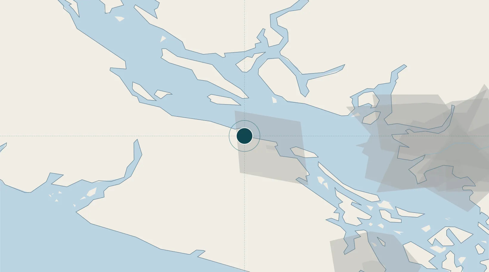
Location
Nearby Logistics Neighbours
Ports
- 1Harmac26 km
- 2Port Alberni49 km
- 3Port Mellon56 km
- 4Crofton58 km
- 5Ganges67 km
Cities
- 1Lantzville5 km
- 2Nanaimo22 km
- 3Thetis Island46 km
- 4Denman Island57 km
- 5Bowen Island60 km
Airports
- 1Nanaimo Harbour Water Aerodrome19 km
- 2Qualicum Beach Airport19 km
- 3Nanaimo Harbour Heliport20 km
- 4Nanaimo Airport31 km
- 5Silva Bay Seaplane Base35 km
Trade Zones
- 1FTZ Vancouver Island75 km
- 2FTZ No. 128 Whatcom County127 km
- 3FTZ No. 129 Bellingham131 km
- 4FTZ No. 085 Everett200 km
- 5FTZ No. 005 Seattle221 km
DatabookThe Record of Consolidated Knowledge
Canada beyond logistics?