Runway & Layout

Airport Specifications
IATA code
YBF
ICAO code
CAE9
Airport class
Seaplane base
Scheduled service
Yes
Served city
Bamfield
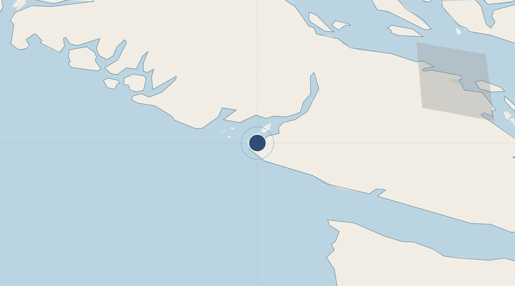
Location
Nearby Logistics Neighbours
Airports
Cities
- 1Ucluelet30 km
- 2Tatoosh Island58 km
- 3Denman Island83 km
- 4Lantzville90 km
- 5Clallam Bay90 km
Ports
- 1Ucluelet33 km
- 2Port Alberni50 km
- 3Neah Bay65 km
- 4Nanoose Harbor86 km
- 5Comox Harbor94 km
Trade Zones
- 1FTZ Vancouver Island154 km
- 2FTZ No. 128 Whatcom County190 km
- 3FTZ No. 129 Bellingham191 km
- 4FTZ No. 173 Grays Harbor195 km
- 5FTZ No. 085 Everett235 km
DatabookThe Record of Consolidated Knowledge
Canada beyond logistics?