Runway & Layout

Airport Specifications
IATA code
YTP
ICAO code
CAB4
Airport class
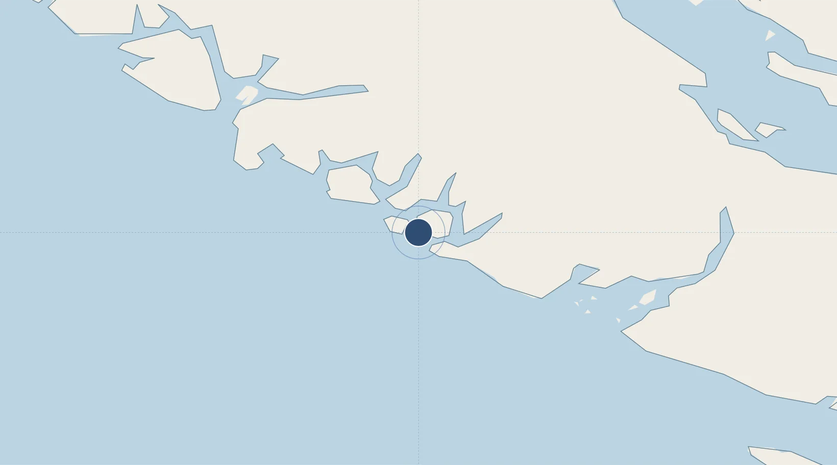
Seaplane base
Scheduled service
Yes
Served city
Tofino
Location
Nearby Logistics Neighbours
Airports
- 1Tofino / Long Beach Airport13 km
- 2Ucluelet Seaplane Base35 km
- 3Bamfield Seaplane Base67 km
- 4Port Alberni Seaplane Base80 km
- 5Comox Seaplane Base91 km
Cities
- 1Ucluelet38 km
- 2Denman Island92 km
- 3Campbell River107 km
- 4Tatoosh Island122 km
- 5Sayward133 km
Ports
- 1Ucluelet35 km
- 2Gold River61 km
- 3Port Alberni80 km
- 4Comox Harbor92 km
- 5Tahsis101 km
Trade Zones
- 1FTZ Vancouver Island203 km
- 2FTZ No. 128 Whatcom County248 km
- 3FTZ No. 173 Grays Harbor250 km
- 4FTZ No. 129 Bellingham251 km
- 5FTZ No. 085 Everett300 km
DatabookThe Record of Consolidated Knowledge
Canada beyond logistics?