Seaplane base · Canada

Port Alberni Seaplane BaseCPW9

49.2319°, -124.8150°

Runway & Layout

Port Alberni Seaplane Base runway & taxiway layout
Runway & taxiway layout — OpenStreetMap (ODbL) / OurAirports

Airport Specifications
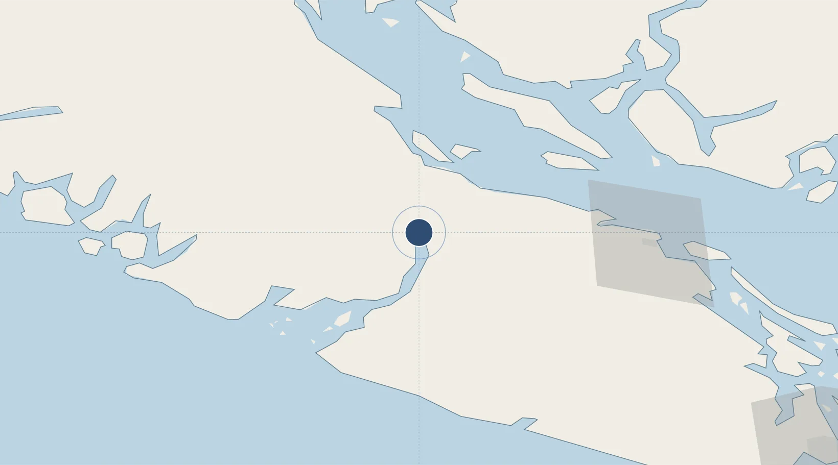
ICAO code
CPW9
OurAirports
Airport class
Seaplane base
OurAirports
Scheduled service
Yes
OurAirports
Served city
Port Alberni
OurAirports

Location

Location of CPW9
Natural Earth 10m (public domain) · British Columbia · CPW9 · 49.23, -124.82GoogleOSMYandex

Nearby Logistics Neighbours

Airports
  1. 1Qualicum Beach Airport33 km
  2. 2Comox Seaplane Base50 km
  3. 3Bamfield Seaplane Base50 km
  4. 4Comox Valley International Airport / CFB Comox54 km
  5. 5Ucluelet Seaplane Base62 km
Nearest neighbours — logibook spatial index (haversine) over the source coordinates
Cities
  1. 1Denman Island35 km
  2. 2Lantzville53 km
  3. 3Ucluelet61 km
  4. 4Nanaimo68 km
  5. 5Thetis Island87 km
Nearest neighbours — logibook spatial index (haversine) over the source coordinates
Ports
  1. 1Port Alberni0 km
  2. 2Nanoose Harbor48 km
  3. 3Comox Harbor49 km
  4. 4Ucluelet62 km
  5. 5Harmac71 km
Nearest neighbours — logibook spatial index (haversine) over the source coordinates
Trade Zones
  1. 1FTZ Vancouver Island123 km
  2. 2FTZ No. 128 Whatcom County172 km
  3. 3FTZ No. 129 Bellingham175 km
  4. 4FTZ No. 173 Grays Harbor233 km
  5. 5FTZ No. 085 Everett235 km
Nearest neighbours — logibook spatial index (haversine) over the source coordinates
DatabookThe Record of Consolidated Knowledge
Canada beyond logistics?
Browse databook

All Sources

AirportsOurAirports
Public domain
Portsthe NGA World Port Index
Public domain (US gov)
LocationsUN/LOCODE
UN/LOCODE — free
Trade Zonesthe World Bank SEZ database
CC BY 4.0
Trade ZonesOpen Zone Map
CC BY
InfrastructureOpenStreetMap
ODbL 1.0
← Canada airports