Foreign Trade Zone · United States
FTZ No. 173 Grays Harbor Active
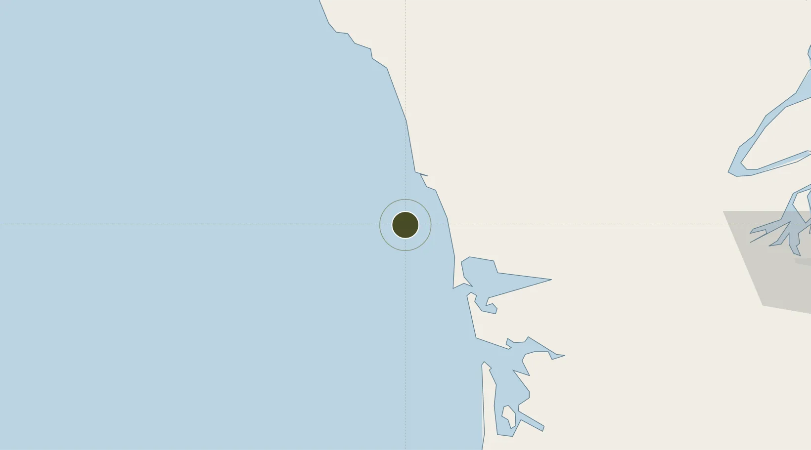
47.1611°, -124.3545°
32.6 km
Nearest port
38.0 km
Nearest airport
Gateway access
Zone profile
Zone type
Foreign Trade Zone
Region
Washington
Status
Active
Management
Public-Private Partnership
Operator
Port of Grays Harbor
Legal framework
Foreign-Trade Zones Act
Location
Nearby Logistics Neighbours
Ports
- 1Westhaven Cove33 km
- 2Hoquiam41 km
- 3Aberdeen45 km
- 4South Bend70 km
- 5Willapa Harbor70 km
Airports
- 1Bowerman Airport38 km
- 2Olympia Regional Airport112 km
- 3Astoria Regional Airport117 km
- 4William R Fairchild International Airport124 km
- 5Bremerton National Airport125 km
Cities
- 1Grays Harbor City37 km
- 2Satsop70 km
- 3Raymond72 km
- 4Elma75 km
- 5McCleary85 km
Trade Zones
- 1FTZ No. 216 Olympia109 km
- 2FTZ No. 212 Tacoma138 km
- 3FTZ No. 086 Tacoma147 km
- 4FTZ No. 005 Seattle150 km
- 5FTZ No. 120 Cowlitz County155 km
DatabookThe Record of Consolidated Knowledge
United States beyond logistics?