Channel & Berth Profile
Pilotage, Tugs & Services
Pilotage compulsoryYES
Pilotage availableYES
Pilotage advisableYES
Tug assistanceYES
Shore powerYES
Potable waterYES
Diesel bunkersYES
MedicalYES
Garbage disposalYES
Facilities & Capabilities
Container—
Ro-Ro—
Liquid bulk—
Dry bulk—
Oil terminal—
Break bulk—
Dry dock—
RepairsNO
BunkeringYES
Rail linkYES
Dangerous cargo—
ISPS security—
Harbour Specifications
Harbour size
Small
Harbour type
River (Natural)
Shelter
Good
Water body
Alaska-Canada coastal waters; North Pacific Ocean
Tidal range
4 m
Overhead limit
No
Pilotage
Yes
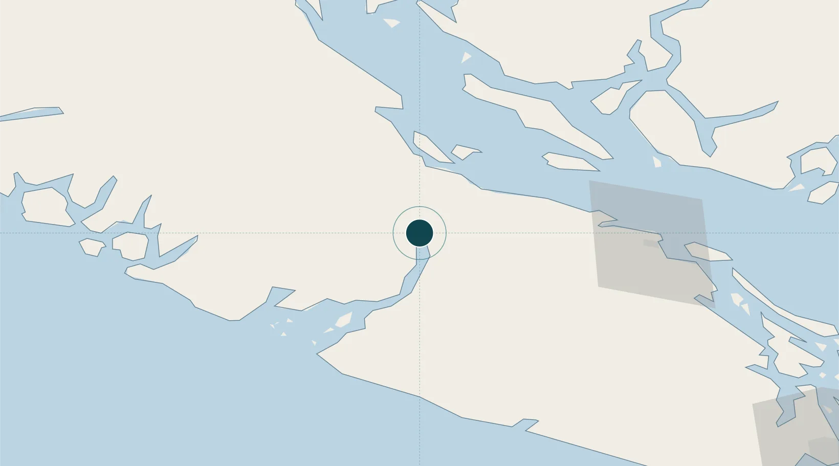
Location
Nearby Logistics Neighbours
Ports
- 1Nanoose Harbor49 km
- 2Comox Harbor49 km
- 3Ucluelet62 km
- 4Harmac71 km
- 5Crofton95 km
Cities
- 1Denman Island35 km
- 2Lantzville53 km
- 3Ucluelet61 km
- 4Nanaimo68 km
- 5Thetis Island87 km
Airports
Trade Zones
- 1FTZ Vancouver Island124 km
- 2FTZ No. 128 Whatcom County172 km
- 3FTZ No. 129 Bellingham175 km
- 4FTZ No. 173 Grays Harbor233 km
- 5FTZ No. 085 Everett235 km
DatabookThe Record of Consolidated Knowledge
Canada beyond logistics?