Medium airport · Canada
Tofino / Long Beach AirportCYAZ
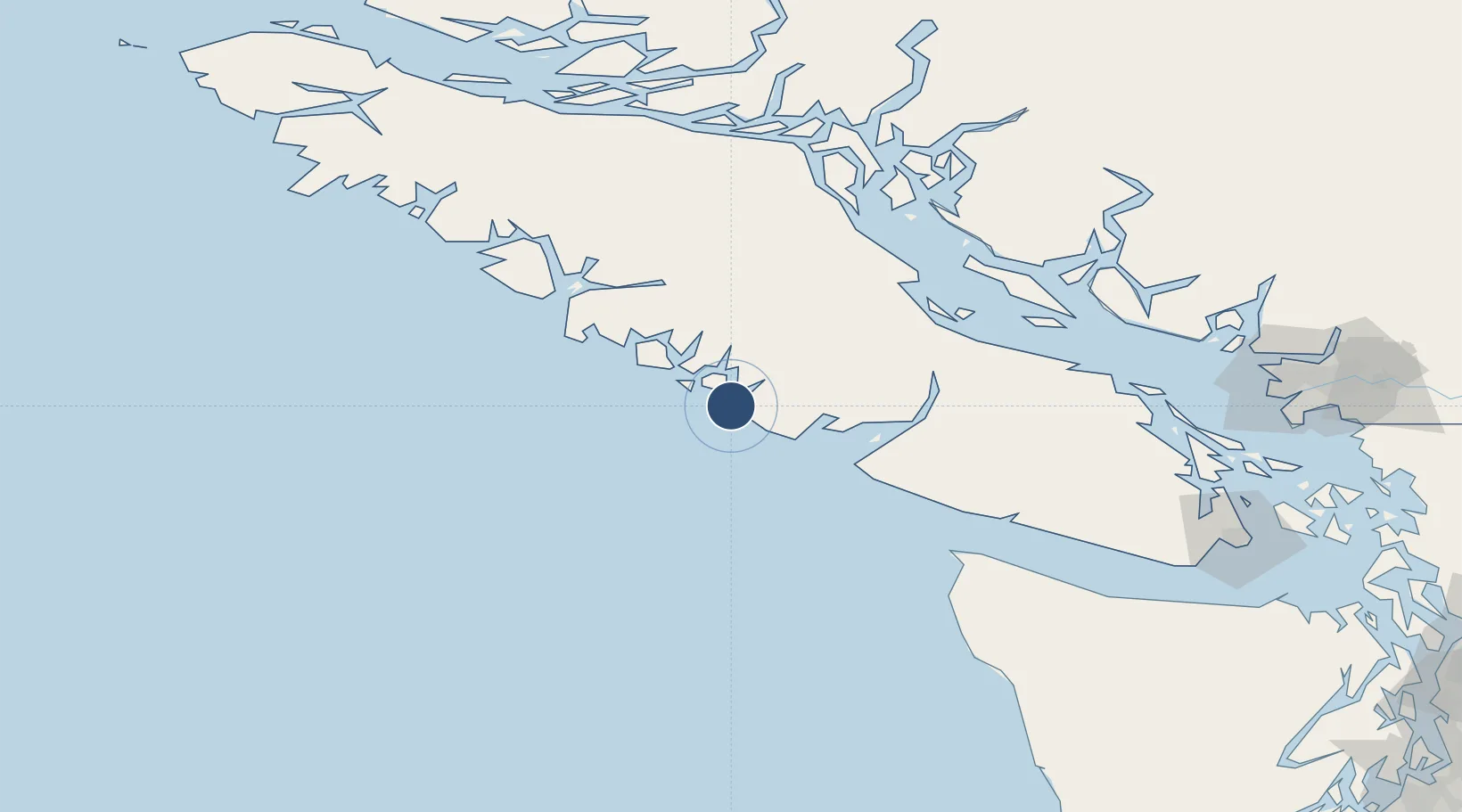
49.0798°, -125.7756°
5,000 ft
Longest runway
3
Runways
80 ft
Elevation
Runway & Layout

Radio Frequencies
CNTR
132.9 MHz
VANCOUVER CNTR
RCO
123.25 MHz
PACIFIC RDO
Navaids
YAZ NDB Tofino 359 kHz
Runways · 3
| Runway | Dimensions | Surface | True heading | Lit |
|---|---|---|---|---|
| 16/34 | 5,000 × 100ft | Concrete | 175° | — |
| 07/25 | 4,999 × 150ft | Concrete | 090° | — |
| 11/29 | 4,997 × 100ft | Concrete | 126° | — |
Airport Specifications
IATA code
YAZ
ICAO code
CYAZ
Airport class
Medium airport
Scheduled service
Yes
Runway surface
Concrete
Served city
Tofino
Location
Nearby Logistics Neighbours
Airports
- 1Tofino Harbour Seaplane Base13 km
- 2Ucluelet Seaplane Base22 km
- 3Bamfield Seaplane Base54 km
- 4Port Alberni Seaplane Base72 km
- 5Comox Seaplane Base90 km
Cities
- 1Ucluelet25 km
- 2Denman Island88 km
- 3Tatoosh Island109 km
- 4Campbell River111 km
- 5Lantzville125 km
Ports
- 1Ucluelet22 km
- 2Gold River72 km
- 3Port Alberni72 km
- 4Comox Harbor90 km
- 5Tahsis113 km
Trade Zones
- 1FTZ Vancouver Island194 km
- 2FTZ No. 128 Whatcom County238 km
- 3FTZ No. 173 Grays Harbor238 km
- 4FTZ No. 129 Bellingham240 km
- 5FTZ No. 085 Everett288 km
DatabookThe Record of Consolidated Knowledge
Canada beyond logistics?