Small airport · Australia
Aurukun AirportYAUR
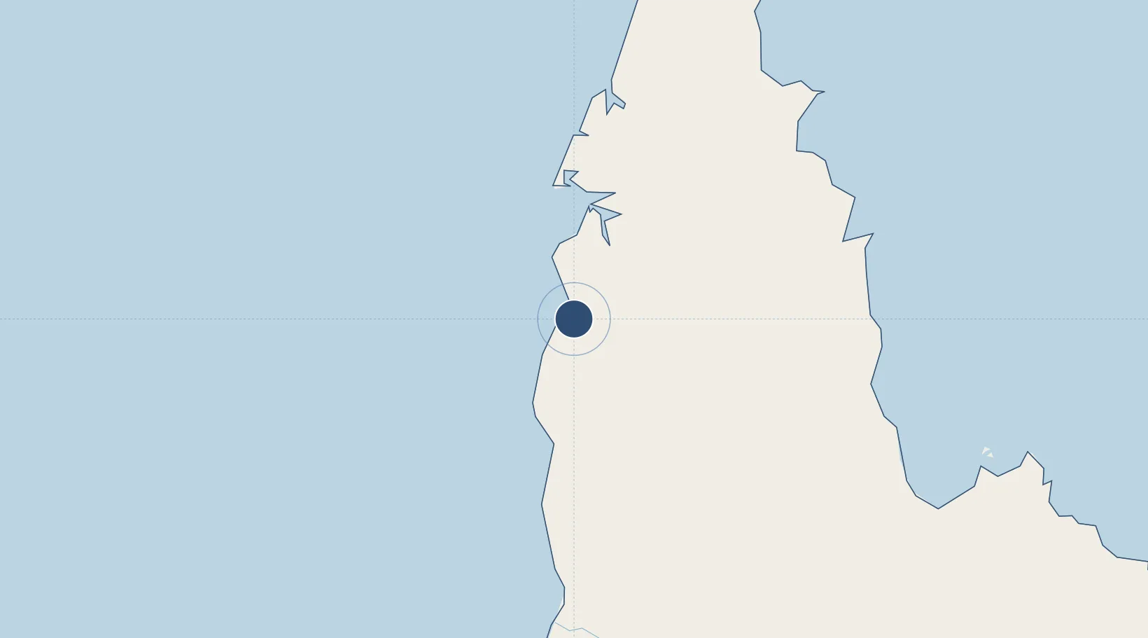
-13.3540°, 141.7200°
4,140 ft
Longest runway
1
Runways
31 ft
Elevation
Runway & Layout

Radio Frequencies
CTAF
126.7 MHz
FSS
122.1 MHz
BRISBANE CNTR
Runways · 1
| Runway | Dimensions | Surface | True heading | Lit |
|---|---|---|---|---|
| 16/34 | 4,140 × 98ft | Permanent | 161° | ✓ |
Airport Specifications
IATA code
AUU
ICAO code
YAUR
Airport class
Small airport
Scheduled service
Yes
Runway surface
Permanent
Served city
Aurukun
Location
Nearby Logistics Neighbours
Airports
- 1Weipa Airport78 km
- 2Coen Airport157 km
- 3Pormpuraaw Airport172 km
- 4Lockhart River Airport183 km
- 5Kowanyama Airport237 km
Cities
- 1Amrun50 km
- 2Evans Landing78 km
- 3Skardon River181 km
- 4Booby Island307 km
- 5Dalrymple Islet452 km
Ports
- 1Weipa78 km
- 2Thursday Island313 km
- 3Cape Flattery Harbor430 km
- 4Karumba469 km
- 5Daru503 km
Trade Zones
DatabookThe Record of Consolidated Knowledge
Australia beyond logistics?