Small airport · Australia

Northern Peninsula AirportYNPE
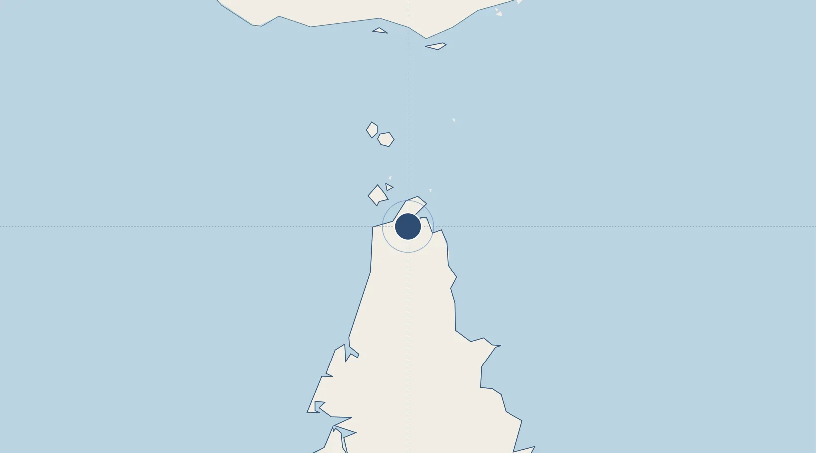
-10.9462°, 142.4551°
5,462 ft
Longest runway
1
Runways
34 ft
Elevation

Runway & Layout

Northern Peninsula Airport runway & taxiway layout
Runway & taxiway layout — OpenStreetMap (ODbL) / OurAirports

Radio Frequencies

CTAF
126.5 MHz
FSS
120.3 MHz
BRISBANE CNTR
OurAirports

Runways · 1

RunwayDimensions SurfaceTrue headingLit
13/31 5,462 × 98ft Asphalt 137°
OurAirports

Airport Specifications

IATA code
ABM
OurAirports
ICAO code
YNPE
OurAirports
Airport class
Small airport
OurAirports
Scheduled service
Yes
OurAirports
Runway surface
Asphalt
OurAirports
Served city
Bamaga
OurAirports

Location

Location of YNPE
Natural Earth 10m (public domain) · Queensland · YNPE · -10.95, 142.46GoogleOSMYandex

Nearby Logistics Neighbours

Airports
  1. 1Horn Island Airport44 km
  2. 2Kubin Island Airport84 km
  3. 3Warraber Island Airport92 km
  4. 4Badu Island Airport94 km
  5. 5Mabuiag Island Airport114 km
Nearest neighbours — logibook spatial index (haversine) over the source coordinates
Cities
  1. 1Booby Island70 km
  2. 2Skardon River101 km
  3. 3Saibai175 km
  4. 4Dalrymple Islet176 km
  5. 5Boigu Island189 km
Nearest neighbours — logibook spatial index (haversine) over the source coordinates
Ports
  1. 1Thursday Island48 km
  2. 2Weipa202 km
  3. 3Daru224 km
  4. 4Merauke356 km
  5. 5Kumul392 km
Nearest neighbours — logibook spatial index (haversine) over the source coordinates
Trade Zones
  1. 1Ihu Special Economic Zone468 km
  2. 2Western Province Special Economic Zone517 km
  3. 3Paga Hill Estate Special Economic Zone538 km
  4. 4Morobe Agricultural Special Economic Zone603 km
  5. 5Nadzab (Momase) Special Economic Zone680 km
Nearest neighbours — logibook spatial index (haversine) over the source coordinates
DatabookThe Record of Consolidated Knowledge
Australia beyond logistics?
Browse databook

All Sources

AirportsOurAirports
Public domain
Portsthe NGA World Port Index
Public domain (US gov)
LocationsUN/LOCODE
UN/LOCODE — free
Trade Zonesthe World Bank SEZ database
CC BY 4.0
Trade ZonesOpen Zone Map
CC BY
InfrastructureOpenStreetMap
ODbL 1.0
← Australia airports