Channel & Berth Profile
Pilotage, Tugs & Services
Pilotage compulsoryYES
Pilotage availableYES
Tug assistanceNO
Potable waterNO
MedicalNO
Garbage disposalNO
Facilities & Capabilities
Container—
Ro-Ro—
Liquid bulkYES
Dry bulkYES
Oil terminal—
Break bulkYES
Dry dock—
Repairs—
BunkeringNO
Rail link—
Dangerous cargo—
ISPS security—
Harbour Specifications
Harbour size
Small
Harbour type
Open Roadstead
Shelter
Fair
Water body
Coral Sea; South Pacific Ocean
Tidal range
1 m
Overhead limit
Yes
Pilotage
Yes
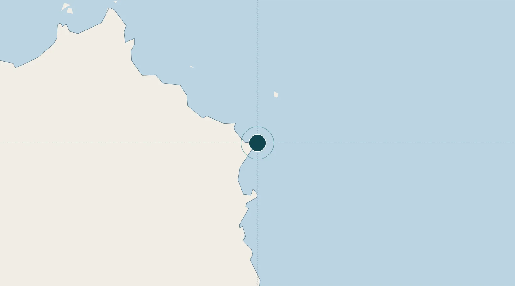
Location
Nearby Logistics Neighbours
Ports
- 1Cairns224 km
- 2Mourilyan Harbour306 km
- 3Lucinda410 km
- 4Weipa454 km
- 5Townsville505 km
Cities
- 1Woree227 km
- 2Cairns228 km
- 3Atherton258 km
- 4Hillcrest270 km
- 5Hinchinbrook Island395 km
Airports
- 1Cooktown Airport58 km
- 2Cairns International Airport219 km
- 3Mareeba Airport236 km
- 4Coen Airport275 km
- 5Lockhart River Airport327 km
Trade Zones
DatabookThe Record of Consolidated Knowledge
Australia beyond logistics?