Medium airport · Australia

Lockhart River AirportYLHR
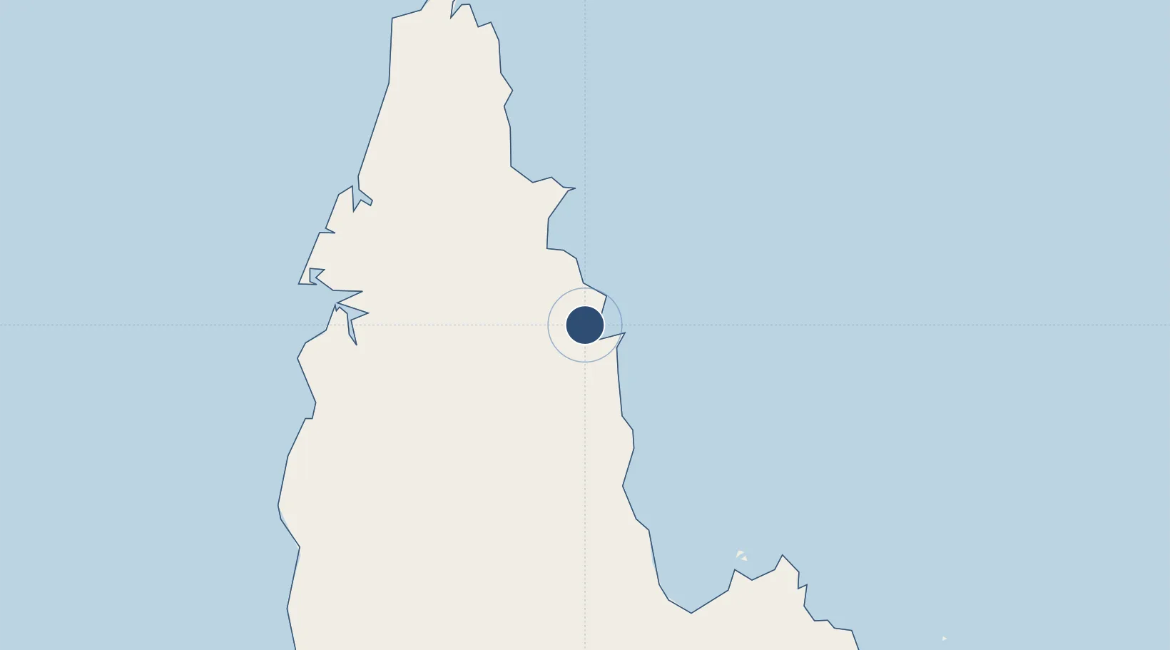
-12.7869°, 143.3050°
4,919 ft
Longest runway
1
Runways
77 ft
Elevation

Runway & Layout

Lockhart River Airport runway & taxiway layout
Runway & taxiway layout — OpenStreetMap (ODbL) / OurAirports

Radio Frequencies

CTAF
126.7 MHz
FSS
122.1 MHz
BRISBANE CNTR
OurAirports

Navaids

LHR NDB Lockhart River 392 kHz
OurAirports

Runways · 1

RunwayDimensions SurfaceTrue headingLit
12/30 4,919 × 98ft Asphalt 125°
OurAirports

Airport Specifications

IATA code
IRG
OurAirports
ICAO code
YLHR
OurAirports
Airport class
Medium airport
OurAirports
Scheduled service
Yes
OurAirports
Runway surface
Asphalt
OurAirports
Served city
Lockhart River
OurAirports

Location

Location of YLHR
Natural Earth 10m (public domain) · Queensland · YLHR · -12.79, 143.30GoogleOSMYandex

Nearby Logistics Neighbours

Airports
  1. 1Coen Airport110 km
  2. 2Weipa Airport150 km
  3. 3Aurukun Airport183 km
  4. 4Northern Peninsula Airport225 km
  5. 5Horn Island Airport268 km
Nearest neighbours — logibook spatial index (haversine) over the source coordinates
Cities
  1. 1Evans Landing158 km
  2. 2Skardon River181 km
  3. 3Amrun184 km
  4. 4Booby Island286 km
  5. 5Dalrymple Islet354 km
Nearest neighbours — logibook spatial index (haversine) over the source coordinates
Ports
  1. 1Weipa157 km
  2. 2Thursday Island272 km
  3. 3Cape Flattery Harbor327 km
  4. 4Daru414 km
  5. 5Cairns531 km
Nearest neighbours — logibook spatial index (haversine) over the source coordinates
Trade Zones
  1. 1Paga Hill Estate Special Economic Zone557 km
  2. 2Ihu Special Economic Zone590 km
  3. 3Morobe Agricultural Special Economic Zone735 km
  4. 4Western Province Special Economic Zone741 km
  5. 5Nadzab (Momase) Special Economic Zone788 km
Nearest neighbours — logibook spatial index (haversine) over the source coordinates
DatabookThe Record of Consolidated Knowledge
Australia beyond logistics?
Browse databook

All Sources

AirportsOurAirports
Public domain
Portsthe NGA World Port Index
Public domain (US gov)
LocationsUN/LOCODE
UN/LOCODE — free
Trade Zonesthe World Bank SEZ database
CC BY 4.0
Trade ZonesOpen Zone Map
CC BY
InfrastructureOpenStreetMap
ODbL 1.0
← Australia airports