Channel & Berth Profile
Pilotage, Tugs & Services
Pilotage compulsoryYES
Pilotage availableYES
Tug assistanceNO
Salvage tugsNO
Potable waterYES
MedicalYES
Facilities & Capabilities
Container—
Ro-Ro—
Liquid bulk—
Dry bulk—
Oil terminal—
Break bulk—
Dry dock—
RepairsNO
BunkeringYES
Rail link—
Dangerous cargo—
ISPS security—
Harbour Specifications
Harbour size
Very Small
Harbour type
River (Natural)
Shelter
Good
Water body
Gulf of Carpentaria; Arafura Sea; South Pacific Ocean
Tidal range
4 m
Pilotage
Yes
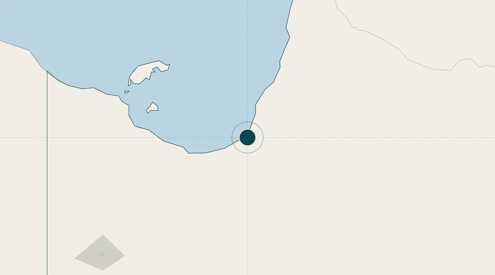
Location
Nearby Logistics Neighbours
Ports
- 1Cairns530 km
- 2Weipa547 km
- 3Cape Flattery Harbor558 km
- 4Mourilyan Harbour562 km
- 5Lucinda593 km
Airports
- 1Karumba Airport3 km
- 2Normanton Airport34 km
- 3Burketown Airport141 km
- 4Mornington Island Airport198 km
- 5Doomadgee Airport219 km
Trade Zones
DatabookThe Record of Consolidated Knowledge
Australia beyond logistics?