Medium airport · Australia
Coen AirportYCOE
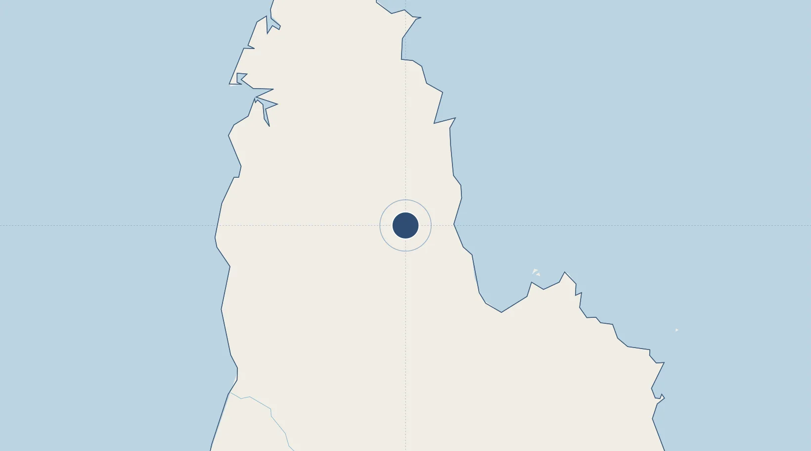
-13.7611°, 143.1133°
4,107 ft
Longest runway
1
Runways
532 ft
Elevation
Runway & Layout

Radio Frequencies
CTAF
126.7 MHz
FSS
118.2 MHz
BRISBANE CNTR
Navaids
COE NDB Coen 404 kHz
Runways · 1
| Runway | Dimensions | Surface | True heading | Lit |
|---|---|---|---|---|
| 11/29 | 4,107 × 75ft | Asphalt | 113° | ✓ |
Airport Specifications
IATA code
CUQ
ICAO code
YCOE
Airport class
Medium airport
Scheduled service
Yes
Runway surface
Asphalt
Served city
Coen
Location
Nearby Logistics Neighbours
Airports
- 1Lockhart River Airport110 km
- 2Aurukun Airport157 km
- 3Weipa Airport176 km
- 4Pormpuraaw Airport205 km
- 5Kowanyama Airport241 km
Cities
- 1Evans Landing183 km
- 2Amrun187 km
- 3Skardon River253 km
- 4Booby Island375 km
- 5Woree454 km
Ports
- 1Weipa182 km
- 2Cape Flattery Harbor275 km
- 3Thursday Island367 km
- 4Cairns453 km
- 5Karumba481 km
Trade Zones
DatabookThe Record of Consolidated Knowledge
Australia beyond logistics?