UN/LOCODE hub · Australia
AUAMR

Amrun

-12.9167°, 141.6167°
1
Transport functions

Transport Functions

Port
UN/LOCODE

Hub Profile

Region
QLD
GeoNames

Location

Location of AUAMR
Natural Earth 10m (public domain) · QLD · AUAMR · -12.92, 141.62GoogleOSMYandex

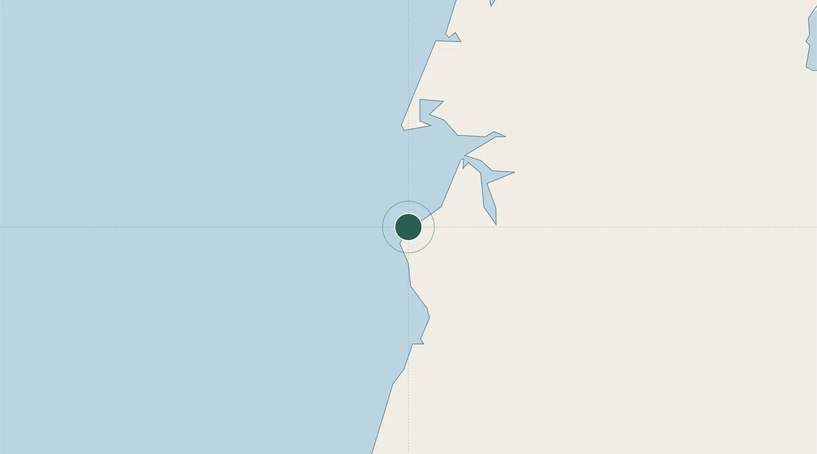
Nearby Logistics Neighbours

Cities
  1. 1Evans Landing38 km
  2. 2Skardon River137 km
  3. 3Booby Island260 km
  4. 4Saibai408 km
  5. 5Boigu Island411 km
Nearest neighbours — logibook spatial index (haversine) over the source coordinates
Ports
  1. 1Weipa39 km
  2. 2Thursday Island268 km
  3. 3Daru462 km
  4. 4Cape Flattery Harbor462 km
  5. 5Merauke511 km
Nearest neighbours — logibook spatial index (haversine) over the source coordinates
Airports
  1. 1Weipa Airport43 km
  2. 2Aurukun Airport50 km
  3. 3Lockhart River Airport184 km
  4. 4Coen Airport187 km
  5. 5Pormpuraaw Airport220 km
Nearest neighbours — logibook spatial index (haversine) over the source coordinates
Trade Zones
  1. 1Western Province Special Economic Zone688 km
  2. 2Ihu Special Economic Zone694 km
  3. 3Paga Hill Estate Special Economic Zone714 km
  4. 4Morobe Agricultural Special Economic Zone834 km
  5. 5Nadzab (Momase) Special Economic Zone903 km
Nearest neighbours — logibook spatial index (haversine) over the source coordinates
DatabookThe Record of Consolidated Knowledge
Australia beyond logistics?
Browse databook

All Sources

LocationsUN/LOCODE
UN/LOCODE — free
Portsthe NGA World Port Index
Public domain (US gov)
AirportsOurAirports
Public domain
Trade Zonesthe World Bank SEZ database
CC BY 4.0
Trade ZonesOpen Zone Map
CC BY
← Australia locations