UN/LOCODE hub · Australia
AUEVL
Evans Landing
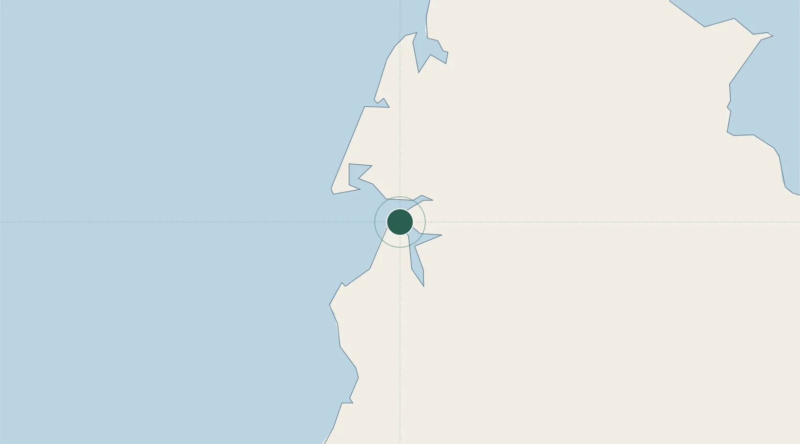
-12.6667°, 141.8500°
213
Population
2
Transport functions
Transport Functions
Port
Road
Hub Profile
Place type
Urban district
Region
Queensland
Population
213
Time zone
Australia/Brisbane
Elevation
14 m
Location
Nearby Logistics Neighbours
Cities
- 1Amrun38 km
- 2Skardon River104 km
- 3Booby Island230 km
- 4Saibai375 km
- 5Dalrymple Islet376 km
Ports
- 1Weipa2 km
- 2Thursday Island235 km
- 3Daru427 km
- 4Cape Flattery Harbor455 km
- 5Merauke492 km
Airports
- 1Weipa Airport8 km
- 2Aurukun Airport78 km
- 3Lockhart River Airport158 km
- 4Coen Airport183 km
- 5Northern Peninsula Airport202 km
Trade Zones
DatabookThe Record of Consolidated Knowledge
Australia beyond logistics?