Medium airport · Australia
Weipa AirportYBWP
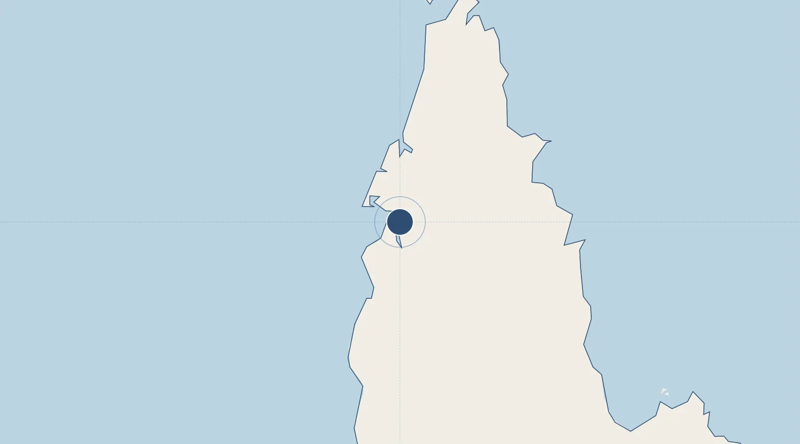
-12.6775°, 141.9226°
5,397 ft
Longest runway
1
Runways
63 ft
Elevation
Runway & Layout

Radio Frequencies
CTAF
126.7 MHz
RDO
122.1 MHz
BRISBANE CNTR
Navaids
WP VOR-DME Weipa 112.80 MHz
WP NDB Weipa 377 kHz
Runways · 1
| Runway | Dimensions | Surface | True heading | Lit |
|---|---|---|---|---|
| 12/30 | 5,397 × 98ft | Asphalt | 124° | ✓ |
Airport Specifications
IATA code
WEI
ICAO code
YBWP
Airport class
Medium airport
Scheduled service
Yes
Runway surface
Asphalt
Served city
Weipa
Location
Nearby Logistics Neighbours
Airports
- 1Aurukun Airport78 km
- 2Lockhart River Airport150 km
- 3Coen Airport176 km
- 4Northern Peninsula Airport201 km
- 5Horn Island Airport236 km
Cities
- 1Evans Landing8 km
- 2Amrun43 km
- 3Skardon River104 km
- 4Booby Island231 km
- 5Dalrymple Islet374 km
Ports
- 1Weipa6 km
- 2Thursday Island235 km
- 3Daru425 km
- 4Cape Flattery Harbor448 km
- 5Merauke496 km
Trade Zones
DatabookThe Record of Consolidated Knowledge
Australia beyond logistics?