Seaport · Australia
Port KemblaAUPKL
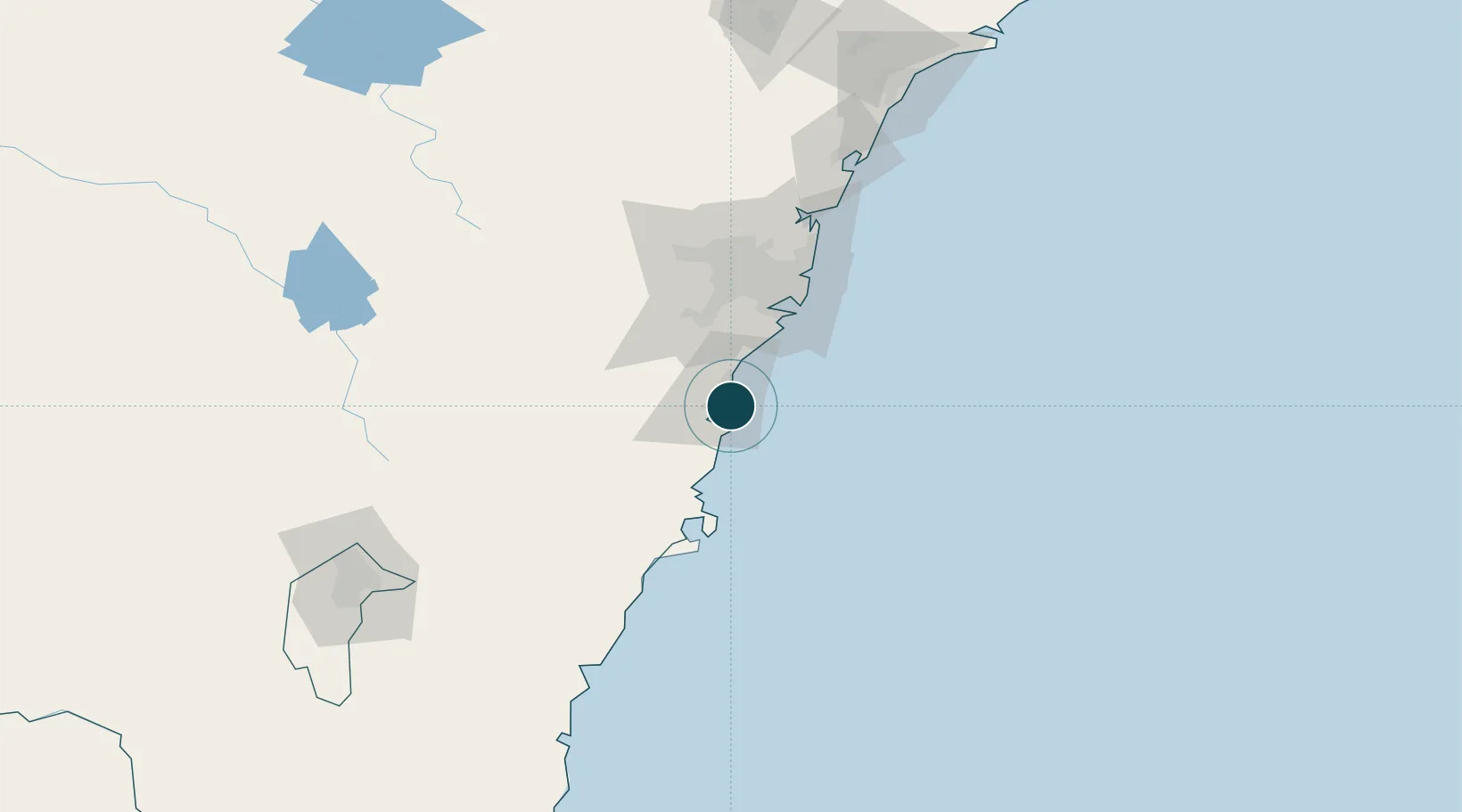
-34.4833°, 150.9167°
15.2 m
Channel depth
1
Container terminals
10.1
Port liner connectivity
Channel & Berth Profile
Pilotage, Tugs & Services
Pilotage compulsoryYES
Pilotage availableYES
Pilotage advisableYES
Local assistanceYES
Tug assistanceYES
Salvage tugsNO
Shore powerYES
Potable waterYES
MedicalYES
Garbage disposalYES
Facilities & Capabilities
ContainerYES
Ro-RoYES
Liquid bulkYES
Dry bulkYES
Oil terminal—
Break bulkYES
Dry dock—
RepairsNO
BunkeringYES
Rail linkYES
Dangerous cargo—
ISPS security—
Harbour Specifications
Harbour size
Medium
Harbour type
Coastal (Breakwater)
Shelter
Fair
Water body
Tasman Sea; South Pacific Ocean
Tidal range
2 m
Pilotage
Yes
Liner Connectivity
10.1
PLSCI
Port Liner Shipping Connectivity Index for Port Kembla, as published by UNCTAD for the latest available quarter. Higher values indicate stronger scheduled liner-shipping integration.
Shown relative to the highest per-port PLSCI in the dataset (1,657.9).
Location
Container Terminals · 1
AAT PORT KEMBLA
AATPK AUSTRALIAN AMALGAMATED TERMINALS
Nearby Logistics Neighbours
Ports
- 1Botany Bay61 km
- 2Jervis Bay71 km
- 3Sydney73 km
- 4Batemans Bay152 km
- 5Newcastle192 km
Cities
- 1Kembla11 km
- 2Oak Flats12 km
- 3Dapto12 km
- 4Bulli20 km
- 5Milsons Point41 km
Airports
Trade Zones
DatabookThe Record of Consolidated Knowledge
Australia beyond logistics?