UN/LOCODE hub · Australia
AUBUL

Bulli

-34.3000°, 150.9167°
6,025
Population
2
Transport functions

Transport Functions

Port
Road
UN/LOCODE

Hub Profile

Place type
Urban district
GeoNames
Region
New South Wales
GeoNames
Population
6,025
GeoNames
Time zone
Australia/Sydney
GeoNames
Elevation
21 m
GeoNames

Location

Location of AUBUL
Natural Earth 10m (public domain) · New South Wales · AUBUL · -34.30, 150.92GoogleOSMYandex

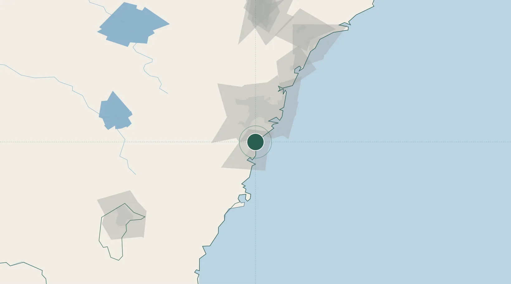
Nearby Logistics Neighbours

Cities
  1. 1Port Kembla17 km
  2. 2Kembla17 km
  3. 3Dapto25 km
  4. 4Oak Flats29 km
  5. 5Picton32 km
Nearest neighbours — logibook spatial index (haversine) over the source coordinates
Ports
  1. 1Port Kembla20 km
  2. 2Botany Bay44 km
  3. 3Sydney55 km
  4. 4Jervis Bay91 km
  5. 5Batemans Bay170 km
Nearest neighbours — logibook spatial index (haversine) over the source coordinates
Airports
  1. 1Shellharbour Airport31 km
  2. 2Camden Airport36 km
  3. 3Sydney Bankstown Airport42 km
  4. 4Sydney Kingsford Smith International Airport46 km
  5. 5RAAF Base Richmond78 km
Nearest neighbours — logibook spatial index (haversine) over the source coordinates
Trade Zones
  1. 1Latrobe Valley Economic Growth Zone597 km
  2. 2Hicks Bay Area Special Economic Zone2469 km
  3. 3Vanuatu Economic Development Zone2648 km
  4. 4Paga Hill Estate Special Economic Zone2786 km
  5. 5Tulagi Island Special Economic Zone2956 km
Nearest neighbours — logibook spatial index (haversine) over the source coordinates
DatabookThe Record of Consolidated Knowledge
Australia beyond logistics?
Browse databook

All Sources

LocationsUN/LOCODE
UN/LOCODE — free
LocationsGeoNames
CC BY 4.0
Portsthe NGA World Port Index
Public domain (US gov)
AirportsOurAirports
Public domain
Trade Zonesthe World Bank SEZ database
CC BY 4.0
Trade ZonesOpen Zone Map
CC BY
← Australia locations