Transport Functions
Port
Multimodal
Hub Profile
Place type
Urban district
Region
New South Wales
Population
6,427
Time zone
Australia/Sydney
Elevation
18 m
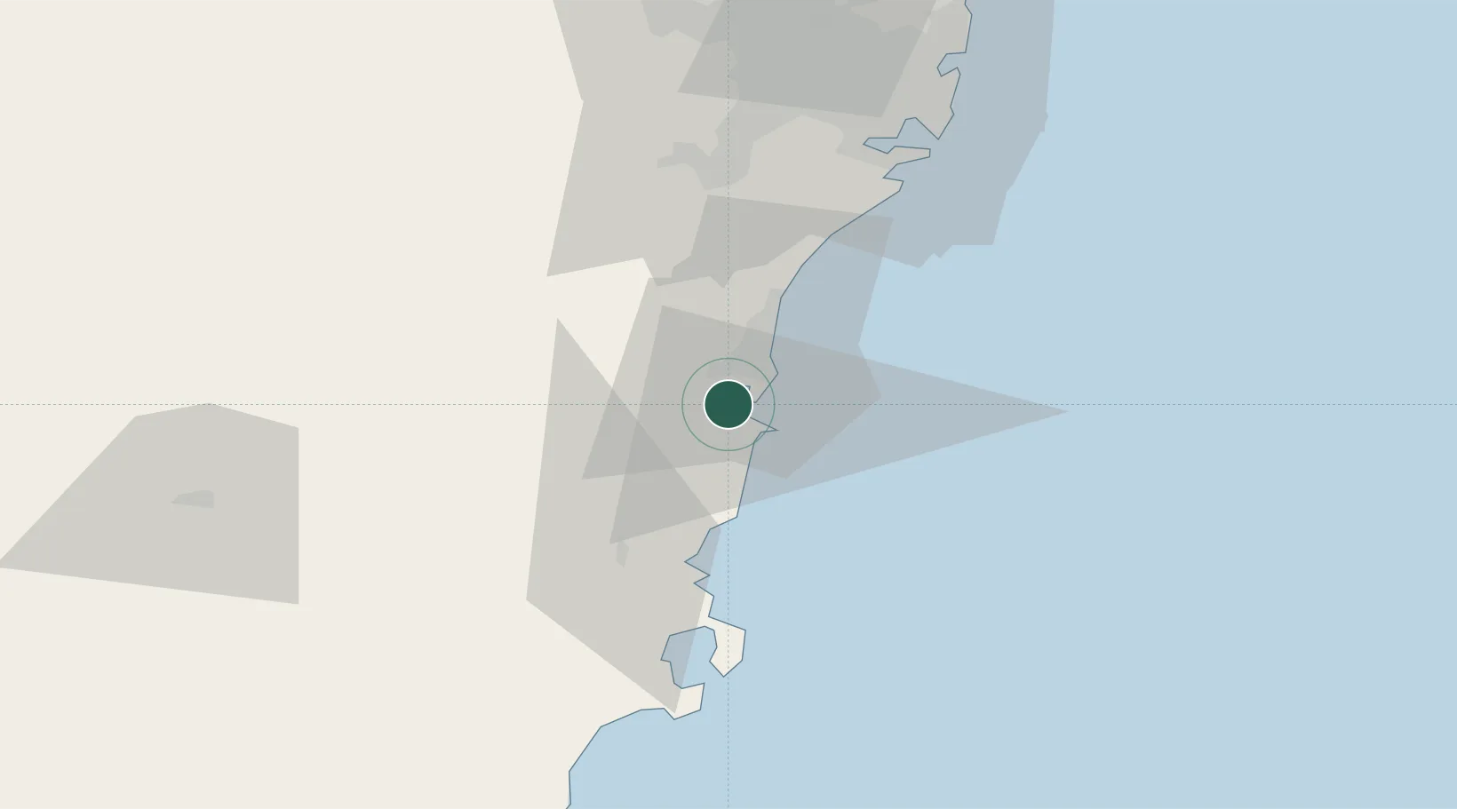
Location
Nearby Logistics Neighbours
Cities
- 1Dapto6 km
- 2Port Kembla13 km
- 3Kembla13 km
- 4Bulli29 km
- 5Mittagong37 km
Ports
- 1Port Kembla12 km
- 2Jervis Bay63 km
- 3Botany Bay72 km
- 4Sydney84 km
- 5Batemans Bay141 km
Airports
Trade Zones
DatabookThe Record of Consolidated Knowledge
Australia beyond logistics?