Medium airport · Australia
Camden AirportYSCN
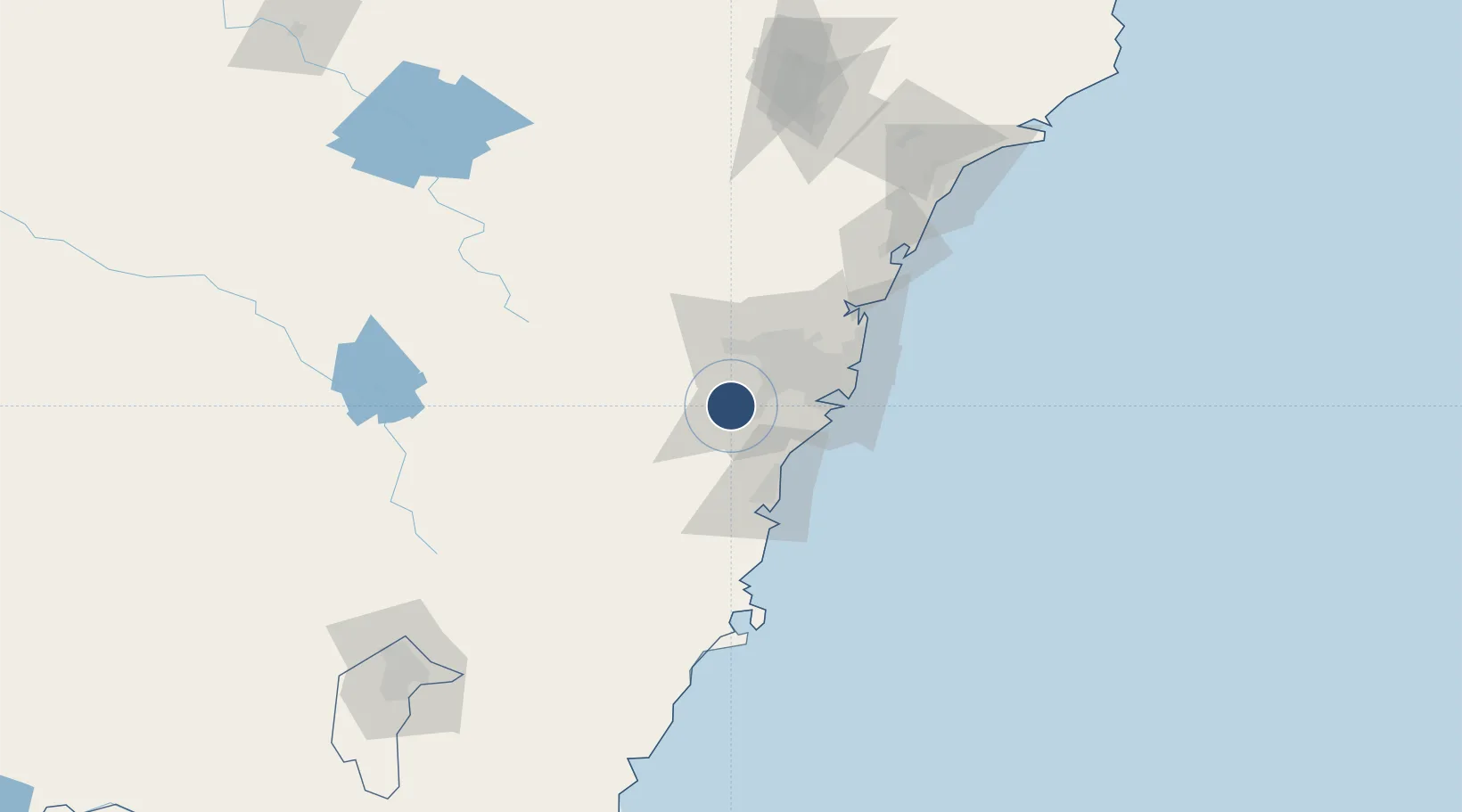
-34.0383°, 150.6864°
4,804 ft
Longest runway
2
Runways
230 ft
Elevation
Runway & Layout

Radio Frequencies
ATIS
125.1 MHz
TWR
120.1 MHz
GND
121.9 MHz
CTAF
120.1 MHz
FSS
124.55 MHz
SYDNEY RADAR
Navaids
CN NDB Camden 281 kHz
Runways · 2
| Runway | Dimensions | Surface | True heading | Lit |
|---|---|---|---|---|
| 06/24 | 4,804 × 98ft | Asphalt | 065° | ✓ |
| 10/28 | 2,372 × 98ft | Grass | 111° | — |
Airport Specifications
IATA code
CDU
ICAO code
YSCN
Airport class
Medium airport
Scheduled service
No
Runway surface
Asphalt
Served city
Cobbitty
Location
Nearby Logistics Neighbours
Airports
Cities
- 1Ingleburn17 km
- 2Picton18 km
- 3Wetherill Park28 km
- 4Revesby31 km
- 5Fairfield31 km
Ports
- 1Botany Bay51 km
- 2Sydney51 km
- 3Port Kembla54 km
- 4Jervis Bay120 km
- 5Newcastle161 km
Trade Zones
DatabookThe Record of Consolidated Knowledge
Australia beyond logistics?